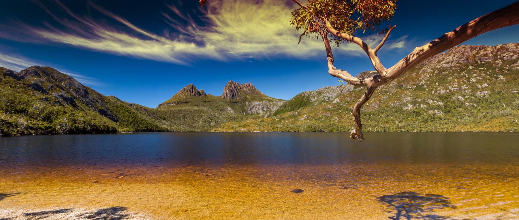
Lap of the Map: Tasmania, 7 Days
Launceston, Australia
7 days
A$5,995 / person

Launceston's favourite day out on two wheels: the Tasman Highway over the Sideling to Scottsdale, then home through the farmland and forest of the north-east on the B81. Sealed all the way.
Ask a Launceston rider where to go for the day and the Sideling comes up first. The Tasman Highway (A3) leaves the city, climbs through forest and farmland past Nunamara and Myrtle Bank, then winds over the Sideling range at a little over 600 metres before dropping into the green farming country around Scottsdale. The way home is the B81, a quieter road that rolls west through Nabowla, Golconda and Lebrina to Lilydale, then crosses one more line of hills back to the Tamar.
The loop is 132 km on sealed roads, so any road bike will do it, and it fits easily into a morning with a long lunch in Scottsdale. The Sideling itself is a run of linked bends that suits riders who are comfortable with corners; the rest is open, sweeping country road with little traffic outside the city. Weather here changes quickly, and the high section is noticeably colder and wetter than Launceston.
Longest stretch without a fuel station: about 41 km, between km 23 and km 63.
Start
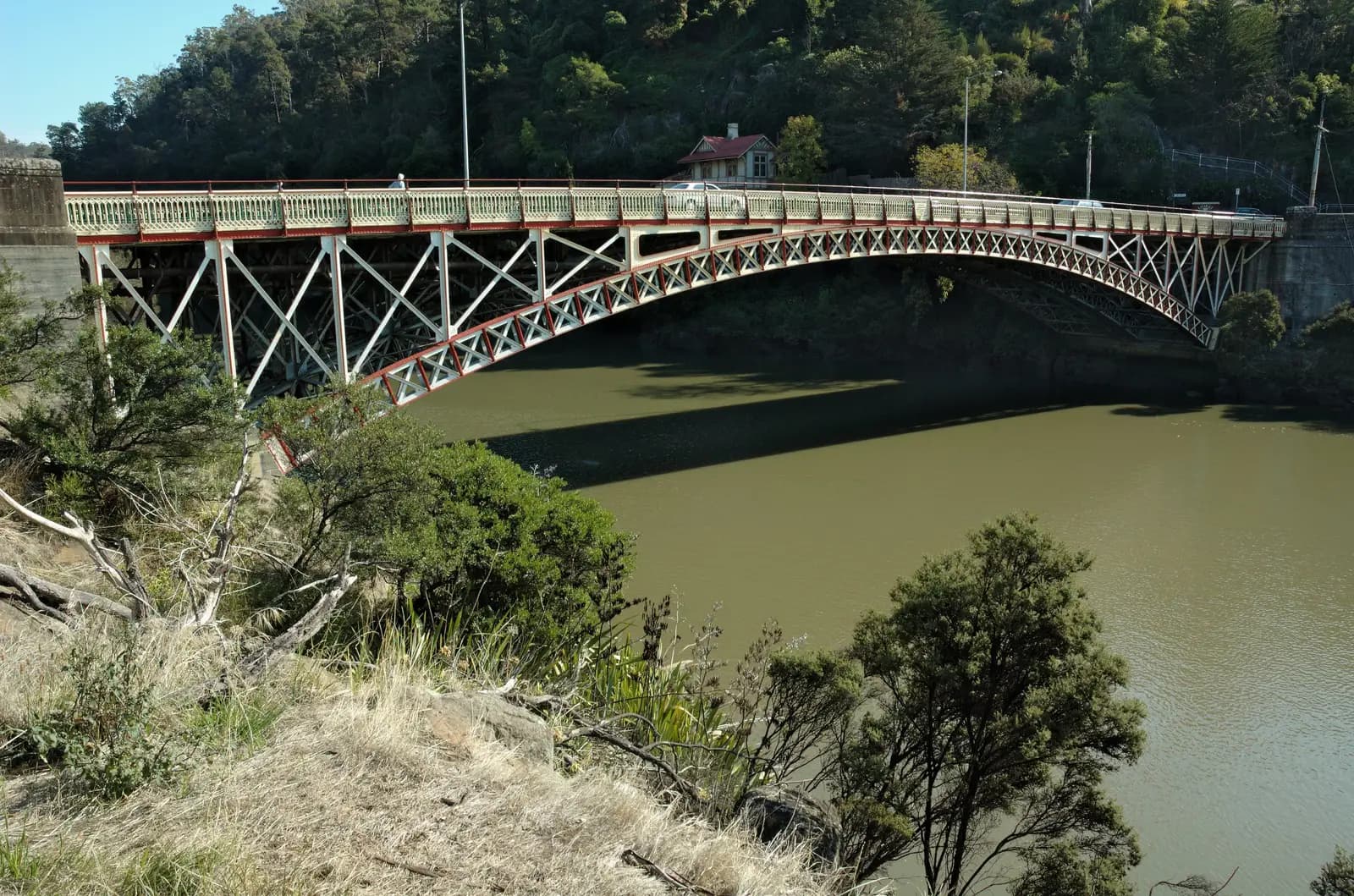
The iron arch bridge across the South Esk River where Cataract Gorge opens out into the Tamar, a few minutes from the city centre. It is an easy place to meet, and you are on the Tasman Highway within a couple of kilometres.
Tip: There are fuel stations within the first few kilometres and another near Nunamara, then nothing until Scottsdale.
The roadkm 0–12
Paterson Street takes you through the centre to the Tasman Highway (A3), which climbs steadily out of the Tamar valley to about 250 metres. Expect city traffic for the first few kilometres, then the road opens up.
The roadkm 12–36
The A3 rolls north-east through forest and cleared farmland, rising gradually past Nunamara to around 430 metres near Myrtle Bank. The fuel station near Nunamara is the last until Scottsdale. Watch for farm vehicles and log trucks, and for wallabies at the road edge in the early morning.
The roadkm 36–52
The reason for the ride. The highway climbs through forest to the top of the range at about 616 metres, passes the lookout, then winds down to about 250 metres in a long run of bends. Some corners tighten and are blind; stay left, look for gravel and spilt diesel on the inside lines, and expect cars that cut corners coming the other way. This stretch is often colder, foggier and wetter than the city.
Viewpoint
Allow 15 min
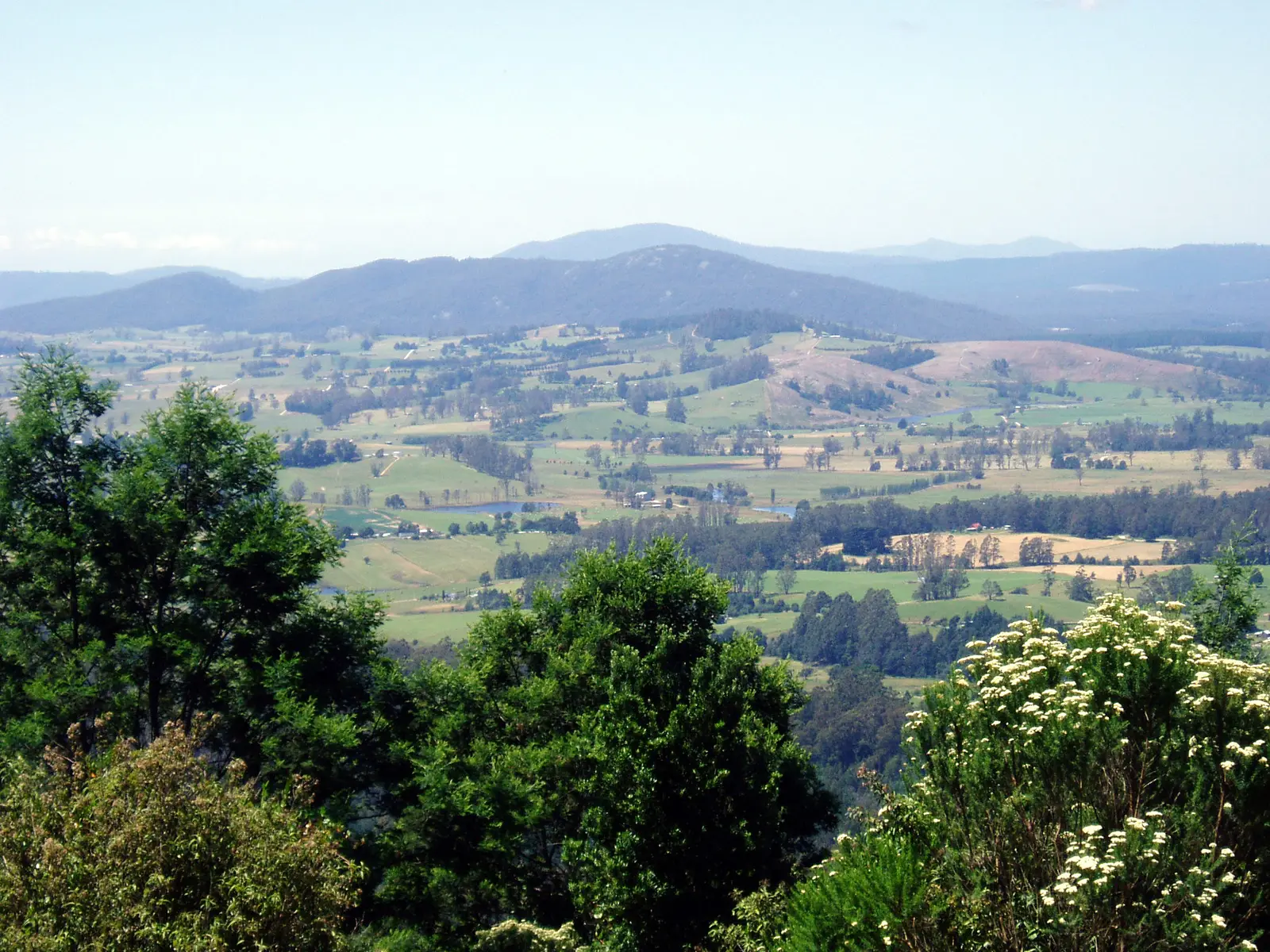
A sealed pull-off on the northern side of the Sideling, a few kilometres past the highest point of the ride at about 616 metres. It looks out over the patchwork of farmland around Scottsdale to the hills of the north-east.
Tip: Traffic comes down the hill quickly here, so look well both ways before pulling back onto the highway.
The roadkm 52–64
The A3 runs out of the hills past Springfield and through farmland into Scottsdale. Faster, sweeping road with good sight lines.
Food
Allow 1 hour with lunch
The main town of the north-east, at the end of the Tasman Highway's run down from the Sideling. Bakeries, cafés and pubs line the main street, and it is the natural place for lunch and a stretch before the ride home. The surrounding country is farmland and forest, with the hills you have just crossed to the south.
Tip: Fill up here: the next fuel on the loop is in Lilydale, about 40 km away.
The roadkm 64–100
The B81 heads west from Scottsdale through Nabowla, Golconda and Lebrina: rolling farmland, stands of forest and very little traffic. It is narrower than the highway, with patched sections, few shoulders and some unmarked bends. The road climbs back to about 250 metres near Lilydale.
The roadkm 100–131.6
From Lilydale the B81 climbs through Underwood to about 380 metres, then descends in a series of bends to Rocherlea and the outskirts of Launceston. George Town Road and the East Tamar Highway (A8) bring you along the river into the city and back to Kings Bridge. Traffic builds in the last 10 km.
Sight
Allow 30 min
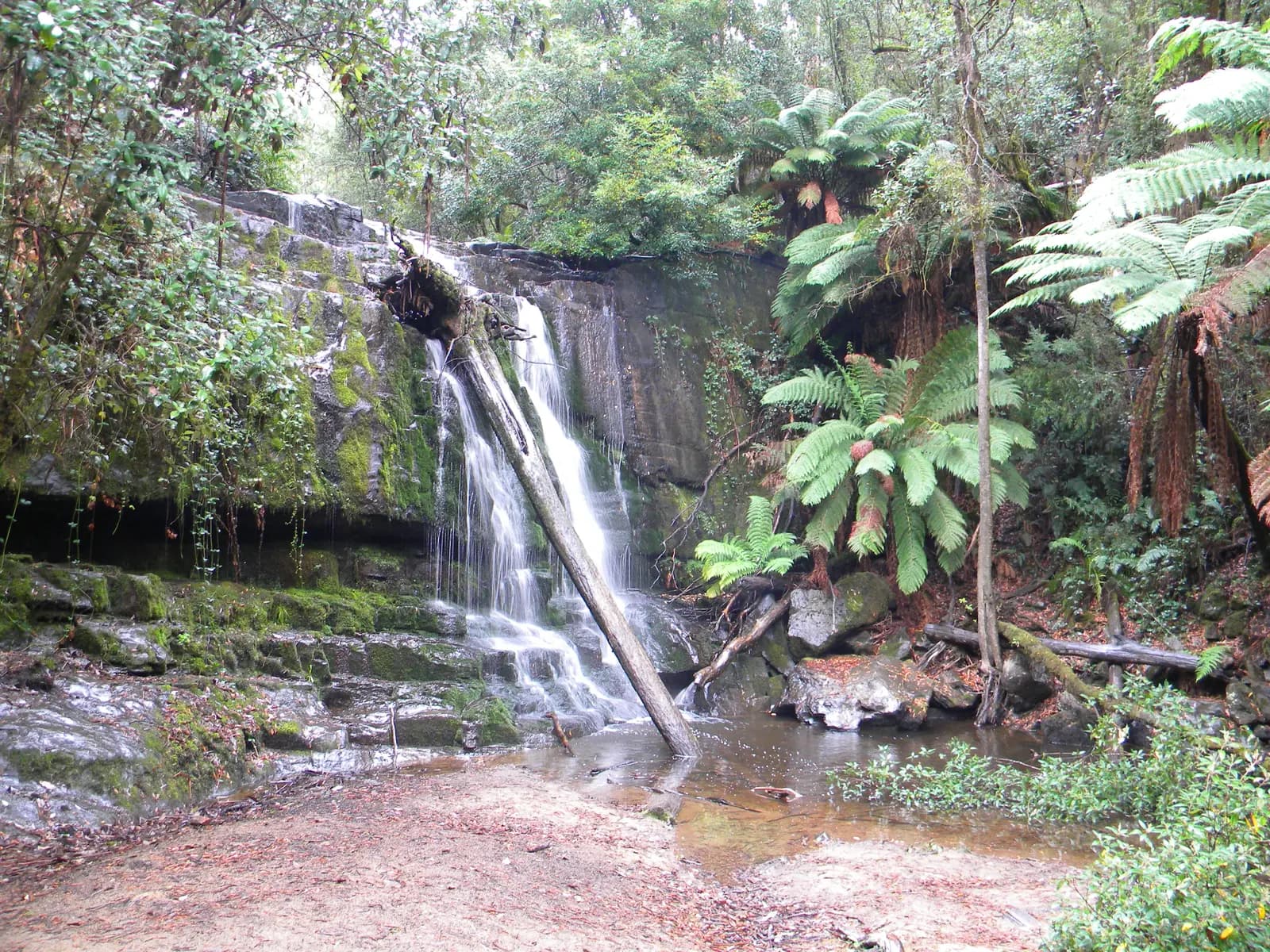
A small reserve beside the B81 just north of Lilydale, with a picnic area and a short walking track through tree ferns to the falls. It is a cool, shady place to stretch your legs before the last climb back to Launceston.
Tip: The track is short but can be muddy after rain; riding boots are fine if you take it slowly.
Finish
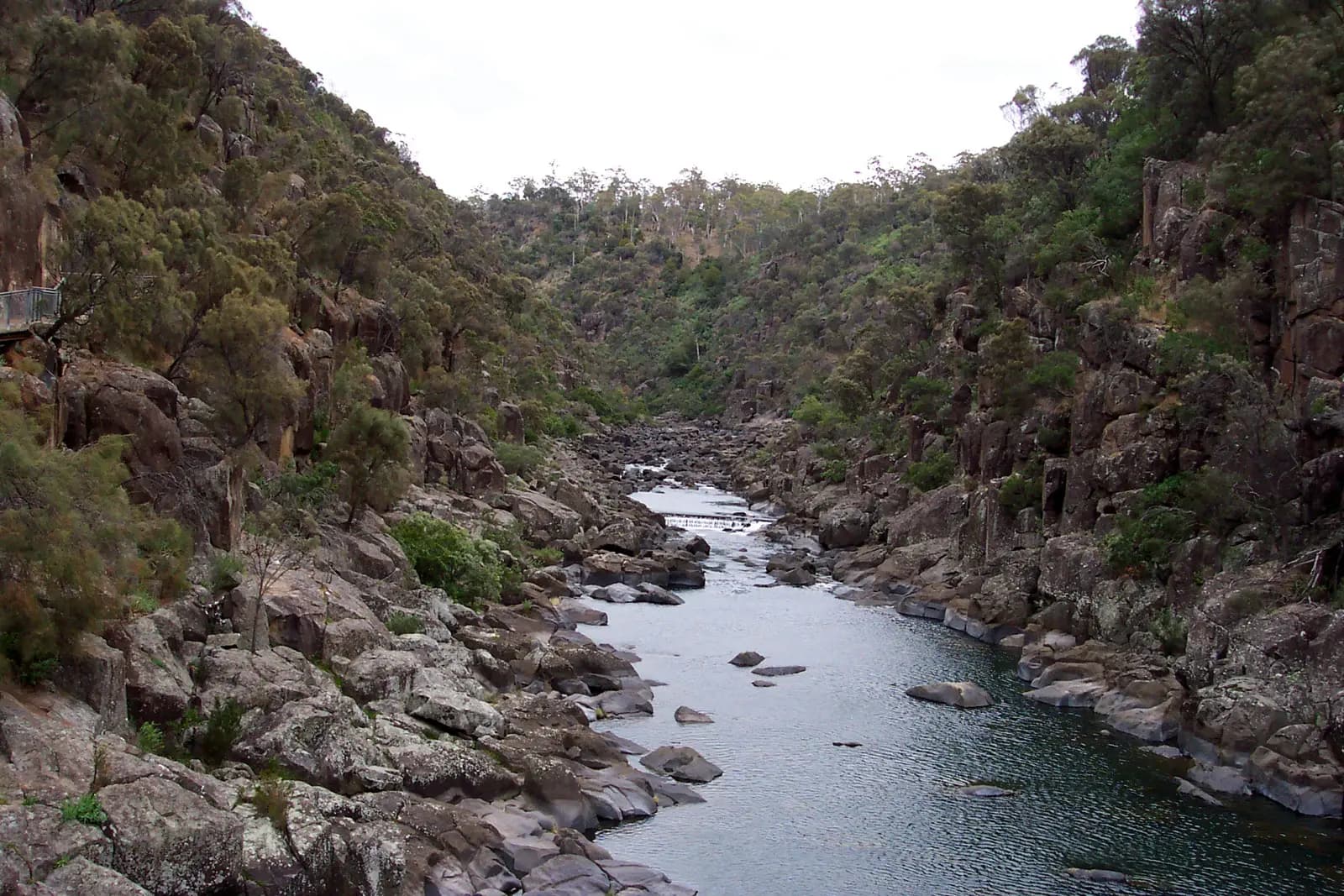
The loop comes back into Launceston along the Tamar and finishes where it started. If you have the legs for it, the walking track into Cataract Gorge starts beside the bridge and follows the cliffs above the South Esk.
Visitors can ride in Tasmania on a current overseas licence that covers motorcycles. If your licence is not in English, carry an International Driving Permit or an official English translation with it. Check that your travel insurance covers motorcycle riding before you go.
The whole loop is sealed, so any road bike or a mid-size scooter will do it. A bike of 250 cc or more makes the highway sections and the climb over the Sideling more relaxed, especially two up.
There are stations in Launceston, one near Nunamara, then nothing until Scottsdale. After Scottsdale the next fuel is in Lilydale, then Rocherlea on the edge of the city. Leave Launceston and Scottsdale with a full tank.
November to April is the best time, with long days and the warmest weather. Tasmania's weather can turn cold and wet in any month, and the Sideling is often cooler and foggier than Launceston. In winter expect frost, ice in shaded corners and short days. Pack waterproofs and a warm layer whatever the forecast.
Wallabies, pademelons, wombats and possums are common on Tasmanian roads and are most active around dawn, dusk and at night. Plan to be back in Launceston well before dark, and slow down wherever you see roadkill, as it means animals cross there.
Australia drives on the left. Helmets are compulsory for rider and passenger. Log trucks and farm vehicles use these roads, and gravel and diesel collect on corners in the hills. Weekends bring more riders and cars to the Sideling; a weekday morning is the quietest time.
These operators run guided tours from Launceston, listed alphabetically. Contact any of them through Moto Mass.