
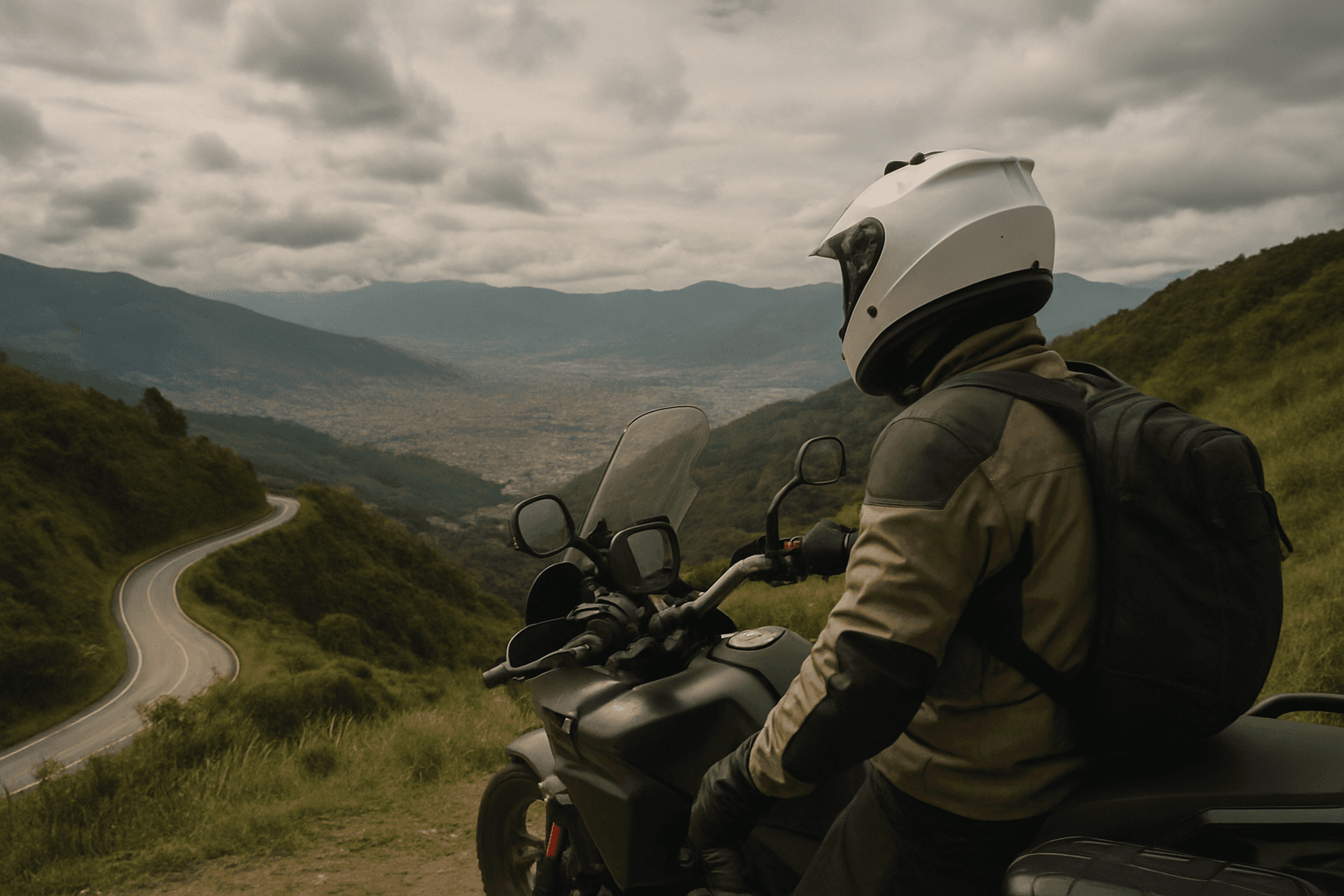
Top of the World Day Trip
Medellin, Colombia
1 day
$250 / person

Medellín's classic day ride: up the Bogotá highway to the reservoir country, round the granite dome of El Peñol to the painted streets of Guatapé, and home over the mountain road through Las Palmas. Tarmac all the way.
Ask a rider in Medellín where to go for a day and Guatapé is usually the first answer. The ride climbs out of the Aburrá valley on the Medellín–Bogotá highway, crosses the green plateau of eastern Antioquia, then drops to a vast reservoir dotted with islands where the Piedra del Peñol, a bare granite dome, rises straight out of the hills. Guatapé, a lakeside town of brightly painted houses, is a few kilometres further on, and the way home goes through colonial Rionegro and over the Las Palmas road, the highest point of the day at about 2,520 metres, before a long descent with Medellín spread out below.
It is a long day rather than a hard one. The roads are paved throughout and a rented 150 cc bike will manage, but the highway out of the city carries heavy trucks on a long climb, and the roads around Guatapé fill up at weekends. The roughly 30 km between Marinilla and Guatapé is ridden both ways; the rest is a loop. Start early: the mornings are usually clearer, and afternoon showers are common for much of the year.
Start
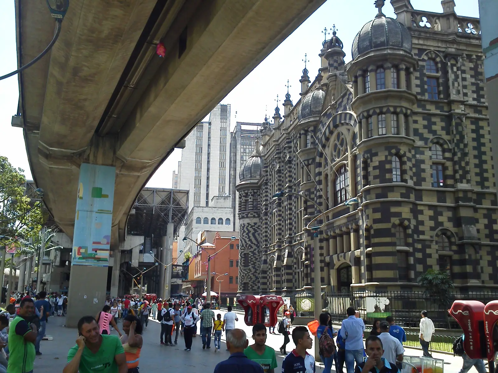
The old heart of Medellín, beside the church of La Candelaria and a short walk from Plaza Botero and the black-and-white Palacio de la Cultura. The metro runs overhead on its viaduct, which makes the square easy to find, and the main road north out of the city is a few minutes away.
Tip: Leave early on a weekday and you are out on the highway before the worst of the city traffic.
The roadkm 0–8
From the centre you head north up the valley on Route 25, the Autopista Norte, towards Bello. It is fast, wide and busy, with buses and motorcycles weaving between lanes. Stay alert at the junctions and watch for the turn east onto Route 60 towards Bogotá.
The roadkm 8–48
Route 60 climbs out of the Aburrá valley from about 1,450 metres to a high point of about 2,280 metres, then runs across the rolling plateau of eastern Antioquia past Guarne to Marinilla. This is the main road to Bogotá and it carries heavy trucks; overtake only with a clear view, and expect slow traffic on the climb.
The roadkm 48–80
After the streets of Marinilla, the road to El Peñol crosses farmland and then drops steeply towards the reservoir. Beyond El Peñol it winds along the water to the base of the rock and on to Guatapé. Expect tour buses and cars at weekends, and slow down for pedestrians around the rock and the town.
Sight
Allow 20–30 min
When the reservoir was built for hydroelectric power in the 1970s, the original town of El Peñol disappeared under the water and the town was rebuilt on its present site. Just outside it, on the road towards the rock, a replica of part of the old town recalls what was lost. It is a short, quiet stop that explains the landscape you are riding through.
Tip: Stop on the way out rather than on the ride home, when the day is getting long and the traffic heavier.
SightDetour
Allow 1½–2 hoursA few hundred metres up the access road to the base

The rock is a single dome of granite rising far above the surrounding hills, and you see it long before you reach it. A staircase of several hundred steps zigzags up a crack in its side to a viewing platform on top, where the reservoir spreads out in every direction as a maze of islands and inlets. The giant painted letters on one face are the start of the name Guatapé, left unfinished after a dispute with neighbouring El Peñol, which also claims the rock.
Tip: A fee is charged to climb. Go up early, before the crowds and the midday heat, and leave your riding jacket locked to the bike if you can.
Food
Allow 1–2 hours with lunch

The turnaround and the natural lunch stop. Guatapé is known for its zócalos, the painted relief panels along the base of almost every house, showing animals, local trades and scenes from the town's history. Wander the cobbled streets around the Plazoleta de los Zócalos, then walk down to the lakeshore promenade, where boats leave for trips round the reservoir. Simple restaurants line the main square and the waterfront.
Tip: The centre is easiest on foot: park the bike near the edge of town and walk in, especially at weekends.
The roadkm 80–114
The same road back past the rock and El Peñol, with the steep climb out of the reservoir basin, then a short stretch west on Route 60. On Sunday and holiday afternoons the traffic heading back to Medellín can be heavy.
The roadkm 114–147
Through Rionegro's busy centre, then out across the Llanogrande plateau of farms and country houses before Route 56 climbs gently towards the top of the Las Palmas road at about 2,520 metres, the highest point of the ride. The air is noticeably cooler up here and mist is common.
Coffee
Allow 30–45 min
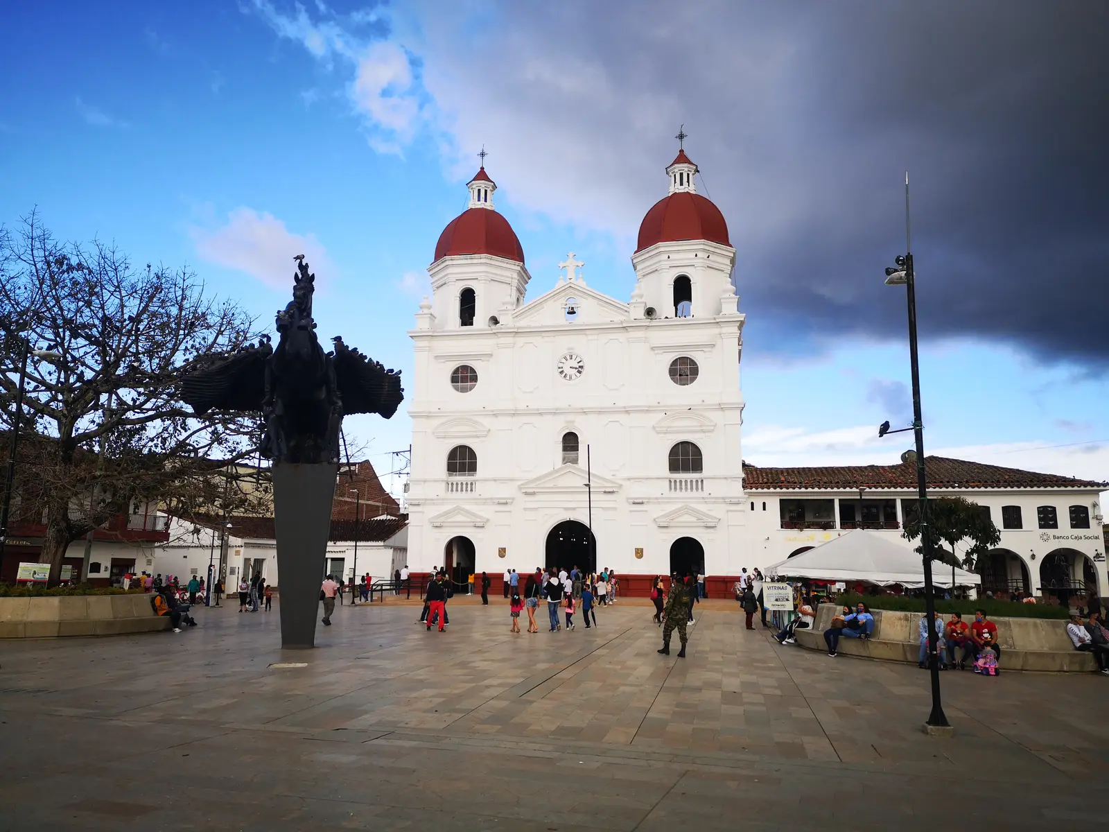
The largest town in the region east of Medellín and one of the oldest in Antioquia. Its main square, the Parque de la Libertad, is framed by the white, red-domed Concatedral de San Nicolás and watched over by a bronze statue of General José María Córdova by Rodrigo Arenas Betancur. A block away is the Casa de la Convención, where the Colombian constitution of 1863 was drawn up. Cafés around the square make it a good place for a coffee before the last climb.
Tip: The streets around the square are busy and partly one-way; follow the signs for the centre and park once you are close.
The roadkm 147–165.6
Avenida Las Palmas drops about a thousand metres to the city in a series of long, sweeping bends, with the valley opening up below. Traffic is fast, cyclists use the road heavily, especially at weekends, and the surface can be slippery in the rain. Near the bottom you join the city traffic for the last few kilometres to the centre.
Viewpoint
Allow 15 min

Partway down the Las Palmas road, a roadside viewpoint looks out over the whole Aburrá valley, with Medellín filling the floor and climbing the slopes opposite. It is one of the best views of the city, and at dusk you can watch the lights come on below you.
Tip: Pull in carefully: traffic on Las Palmas is fast and the descent is long. Use engine braking and keep something in reserve for the corners.
Finish
Avenida Las Palmas brings you down into the city and back to the centre. If you still have energy, Plaza Botero, with its collection of Fernando Botero's rounded bronze sculptures, is a two-minute walk from where you started.
Ride on a valid motorcycle licence. Your home licence with an International Driving Permit that covers motorcycles is the safe choice; check the current rules for foreign riders before you go. Every vehicle in Colombia must carry SOAT, the compulsory accident insurance, so check that the bike's papers are valid and on board.
Any 125–150 cc bike will make the trip solo, but the long climbs on Route 60 and Las Palmas, with trucks around you, are much more comfortable on 200 cc or more, especially two up. Check the brakes before you leave: the descent from Las Palmas is long.
There are fuel stations along the highway, in the towns and around Guatapé, so fuel is not a worry on this ride. Fill up before you leave the city and top up in Guatapé or Rionegro.
December to February and July to August are usually the driest months. April to May and October to November are the rainiest, with heavy afternoon storms; whatever the season, ride in the morning and carry waterproofs. The top of Las Palmas, above 2,500 metres, is often cool and misty.
Colombia drives on the right, and helmets are compulsory for rider and passenger. Medellín restricts driving on weekdays by plate number under its pico y placa scheme, which has applied to motorcycles, so check the current rules for your bike before you set out. There are toll booths on some of the main highways; ask your rental how motorcycles are charged.
Guatapé is one of the most popular day trips from Medellín. On weekends and public holidays the town and the rock are crowded, and the roads back to the city are slow in the late afternoon. A weekday start is the quietest way to do it.
These operators run guided tours from Medellin, listed alphabetically. Contact any of them through Moto Mass.