
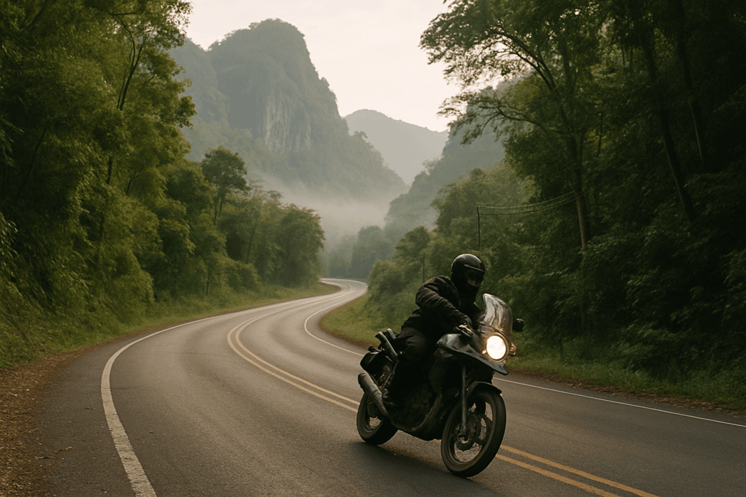
The Mae Hong Son Loop: Motorcycle Route Guide
The Mae Hong Son Loop turns people into repeat visitors. Roughly 600 kilometres in a circle west of Chiang Mai on Highways 108 and 1095, taking in mountain passes, hill-tribe villages, hot springs, a Burmese-influenced border town and the most corner-heavy tarmac in Southeast Asia. The number everyone quotes, 1,864 curves, is signposted and printed on t-shirts. It's also beside the point. What matters is that the corners keep coming for four days.
Quick facts
| Item | Detail |
|---|---|
| Distance | About 600 km, start and finish in Chiang Mai |
| Roads | 1095 north via Pai, 108 south via Mae Sariang |
| Riding time | About 12 hours moving. Nobody sensible does that |
| Days | 4 is standard, 6 to 8 if you want the side roads |
| Surface | Sealed throughout, 1,864 signposted curves |
| Best months | November to February. Avoid February to April |
Wider country context: our Thailand motorcycle tours hub.
The shape of the loop
Direction matters. Clockwise takes 1095 north through Pai first, then down the western side on 108 through Mae Sariang. Anticlockwise reverses that. Most riders go clockwise and get the famous section done early. The other way puts the quietest riding first and saves Pai for when you've got your eye in.
Highway 1095 covers 245 kilometres on its own, Chiang Mai province to Mae Hong Son. The Japanese army built it during the Second World War, which explains a routing that prefers ridgelines to valleys. The Chiang Mai to Pai section alone is credited with 762 bends.
| Stage | Road | Distance | Character |
|---|---|---|---|
| Chiang Mai to Pai | 1095 | 130 km | 762 bends, busy with minibuses |
| Pai to Mae Hong Son | 1095 | 110 km | Caves, ridgelines, slower corners |
| Mae Hong Son to Mae Sariang | 108 | 160 km | Near-empty, best riding on the loop |
| Mae Sariang to Chiang Mai | 108 | 190 km | Open and fast, Doi Inthanon detour |
Chiang Mai to Pai (Highway 1095)
The most famous stretch of motorcycle road in Thailand. It climbs out of the Mae Taeng valley into forest and then doesn't stop turning: tight second and third gear corners stacked on each other, straights just long enough to relax before the next sequence. Pai is a backpacker town in a wide valley. Its use to a rider is a bed and a hot spring.
Pai to Mae Hong Son (Highway 1095)
Quieter, wilder, and for a lot of riders better. The road climbs through Pang Mapha and its caves, passes the Lod Cave turn-off, and runs along ridges with real views before dropping into Mae Hong Son. Budget most of a day: the corners are slower and the stops are worth making.
Mae Hong Son to Mae Sariang (Highway 108)
This is where the loop earns its 1,864-curve reputation, and the section the number is credited to. Highway 108 runs south close to the Myanmar border through Khun Yuam, alternating long forested descents with climbs back onto ridgelines. Traffic thins to nothing. The best riding on the circuit.
Mae Sariang back to Chiang Mai (Highway 108)
The fastest leg, following the Ping and Chaem valleys east. Open and quick, which suits a final day. The obvious detour runs north through Mae Chaem to Doi Inthanon, at 2,565 metres the highest point in Thailand, adding a superb climb and a cold summit.
How many days
| Days | Shape | Suits |
|---|---|---|
| 2 | Chiang Mai, Pai, Mae Hong Son, back | A schedule and no interest in stopping |
| 4 | A night each in Pai, Mae Hong Son and Mae Sariang | The standard, and right for most people |
| 6 to 8 | Adds Doi Inthanon, Mae Chaem, Khun Yuam, a rest day | Anyone who came for the riding |
Two days is possible and I wouldn't do it. Six hundred kilometres of continuous corners is tiring, and fatigue on a mountain road with unguarded edges is the main risk here. Four days is the classic. The eight-day guided versions add back roads no online map shows.
When to ride it
November to February is the peak window: dry, clear, cool enough at altitude to want a jacket liner in the morning. Chiang Mai's average daily maximum is around 30°C in December and January, and mornings on the passes are much colder.
February through April is burning season. Agricultural and forest fires fill the valleys with smoke, Chiang Mai's air quality regularly hits unhealthy levels, and the mountain views vanish into haze. NASA's Earth Observatory has documented the pattern: fires peak in March and fade in May as the rains return. Check the calendar before you book.
May to October is the southwest monsoon. Rain is heavy but short and afternoon-loaded, the hills turn spectacular, and traffic drops away. Experienced riders often prefer late September and October: rain easing, everything green, smoke months away. Our Thailand riding calendar goes month by month.
What to ride
The loop doesn't demand a big bike. It demands brakes, tyres and a comfortable riding position, because you'll use all three for four days straight.
- Honda CB500X. The default northern Thailand tour bike. Light enough for the tight stuff, comfortable enough for the 190-kilometre final leg.
- Yamaha Ténéré 700 or Triumph Tiger 900. More capable, more expensive, more bike than these corners need. Good if you plan to leave the tarmac.
- Honda CRF300L. The pick if the itinerary includes trails. Buzzy at 100 km/h, wonderful everywhere else.
- 150cc to 160cc scooters and small geared bikes. Adequate, and what many independent riders use. Check the brakes and tyres yourself before leaving Chiang Mai.
Thailand drives on the left. Most riders adapt in a day, but junctions and petrol station exits are where the old habit comes back.
Practical notes
- Pai and Mae Hong Son book out in peak season. Mae Sariang almost never does.
- Police checkpoints are common on 108 near the border. Carry your passport, licence and IDP.
- Early-morning mountain fog is normal from November to January, especially on the 1095 ridges.
- Border areas west of 108 are restricted in places. Stay on the highway unless a guide takes you off it.
Guided options on Moto Mass
- OnRoad Tour, 8 days from Thailand Moto Tours. The full loop sealed-road: Chiang Mai, Mae Hong Son, Pai, Mae Sariang.
- OffRoad Tour, 8 days, the same region on trails via Mae Win, for dirt rather than curves.
- Northern Thailand Experience, 13 days, $5,749, roughly 2,500 km. The loop plus Doi Inthanon, Chiang Rai and the Golden Triangle, supported with truck and trailer.
- Golden Triangle Grand Tour, 15 days, the loop inside a much longer northern itinerary.
Operator detail is in our Thailand motorcycle tour companies guide, budgeting in what a Thailand tour costs.
Frequently asked questions
How long is the Mae Hong Son Loop?
Roughly 600 kilometres on Highways 108 and 1095. Pure driving time is about twelve hours, but nobody sensible rides it that way. Four days is standard. Six to eight lets you add Doi Inthanon and the side roads.
Does it really have 1,864 curves?
That's the signposted figure, usually attributed to the Mae Sariang to Mae Hong Son section of Highway 108. Add Route 1095 through Pai, credited with 762 bends on the Chiang Mai stretch alone, and the full circuit runs past two thousand. A marketing number that's roughly honest.
Which direction should I ride it?
Clockwise via Pai is popular and gets the famous section done first. Anticlockwise is quieter early and saves the busiest road for a day when you've adapted to riding on the left. Either works.
Is it suitable for a beginner?
For a confident newer rider, yes, on two conditions: take four days rather than two, and ride something short like the Samoeng Loop first to get used to Thai traffic. Never ridden in an unfamiliar country? Start with a guided group and a support vehicle.
What about the burning season?
February to April the northern valleys fill with agricultural smoke and the views largely disappear. Riding is possible but diminished, and anyone with respiratory sensitivity should stay away. If those months are your only option, look at southern Thailand.
Can I do it on a rented scooter?
Yes, and plenty do. Check the brakes, tyres and chain before you leave Chiang Mai, and remember a small automatic gives almost no engine braking on long descents. A 150cc geared bike is a better tool for the same money.
Where should I stop overnight?
Pai, Mae Hong Son and Mae Sariang are the natural three, and they space the loop almost evenly. Khun Yuam is the underrated alternative if you want a shorter third day and a quieter town.