
Hidden Sri Lanka, 13 Days
Galle, Sri Lanka
13 days
$3,850 / person

A day on Sri Lanka's south coast: out along the sea road past stilt fishermen, Weligama Bay and Mirissa, then home by quiet back roads through rainforest and smallholdings. Tarmac all the way.
Galle is the natural base for riding Sri Lanka's south coast, and this loop shows you both sides of it. The first half follows the A2, the old coast road, east from the walls of Galle Fort: past the bay at Unawatuna, the stilt fishermen of Koggala and Ahangama, the long surf beach at Weligama and the palm-topped headland at Mirissa, as far as the edge of Matara. Then it turns inland and comes home by a completely different way, on narrow B-roads through villages, paddy fields, tea and cinnamon smallholdings, and a patch of lowland rainforest at Kottawa.
Nothing here is high: the whole loop stays below about 70 metres, and the inland roads rise and fall gently rather than climb. What makes it a moderate ride is the traffic. The A2 is the main road along the coast and it is busy all day with buses, lorries, three-wheelers and scooters, and buses here are driven hard. The back roads are quieter but narrow, with blind bends, people walking on the edge and dogs asleep on the tarmac. The surface is paved all the way and a rented 125 cc scooter is enough; it suits riders who already have some experience of traffic in South Asia.
Longest stretch without a fuel station: about 37 km, between km 64 and km 101.
Start

The old walled town on its headland, a UNESCO World Heritage Site, built by the Portuguese and fortified by the Dutch, with ramparts you can walk on all the way round. Start by the clock tower at the main gate: the narrow streets inside are slow and full of people walking, so it is easier to meet here and ride out.
Tip: Leave early. The coast road is quietest before about 8 am, and you will want the ramparts for later, at sunset.
The roadkm 0–13
From the fort you join the A2 heading east, through the edge of town and past the turn for Unawatuna's bay. This is the slowest part of the day: the road is narrow, shops and bus stops line both sides, and three-wheelers pull out without warning. Keep left and let the buses go.
The roadkm 13–29
Past Koggala the A2 runs within sight of the surf for long stretches through Ahangama and Midigama, then the AB41 follows the curve of Weligama Bay. It is flat and mostly straight, with the sea on your right. Watch for people crossing to the beach and for sand blown onto the road.
Sight
Allow 15–30 min

Along the shore at Koggala and on towards Ahangama, poles stand in the shallows where fishermen sit on a crossbar and fish with a rod above the surf. It is one of the best-known images of Sri Lanka. Many of the men on the poles today are there for visitors and expect a tip for photographs; some mornings you will also see fishing done in earnest. Just inland, Koggala Lake spreads behind the road, and the Martin Wickramasinghe Folk Museum stands in the novelist's home village.
Tip: Park well off the road: the A2 is narrow here and buses pass close to the verge.
Coffee
Allow 30 min
The road runs right along a wide, shallow bay with a long sandy beach, outrigger fishing boats pulled up on the sand and surfers out on the gentle beach break. Cafés and simple restaurants line the road, and it makes a good first break.
Tip: There are fuel stations on the A2 between here and Mirissa, so this is a good place to top up.
The roadkm 29–43
The A2 runs on past Mirissa towards Matara, often set a little back from the sea. Traffic thickens as you approach the town; turn inland onto the A24 on its western edge before the centre.
ViewpointDetour
Allow 20–30 minA few hundred metres down a lane from the A2
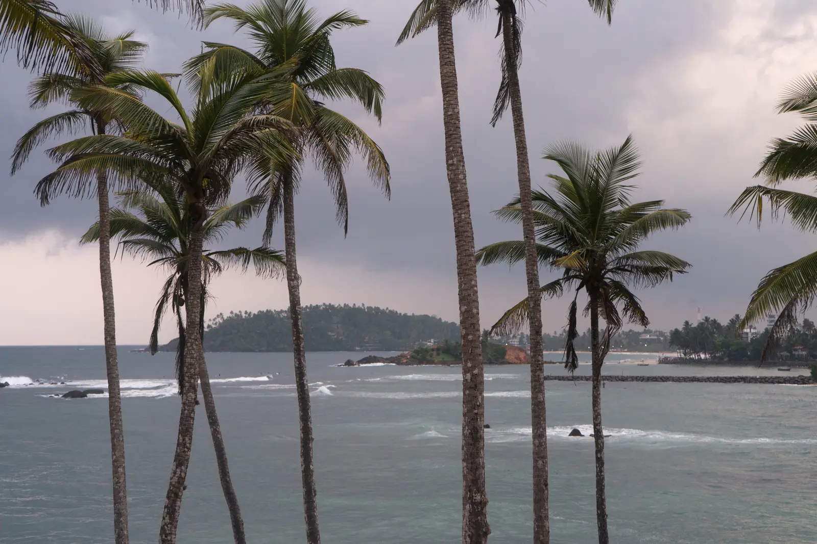
Just past Mirissa beach, a small headland of tall coconut palms leans out over the sea. It is the most photographed view on this coast, and from the top you look back along Mirissa's curve of sand. Mirissa itself, a few hundred metres back along the road, is the obvious place for lunch, with seafood restaurants along the beach.
Tip: Leave the bike where the lane ends and walk the last part; go early or late in the day, when the light is softer and there are fewer people.
The roadkm 43–64.5
The A24 runs north up the Nilwala valley through a long chain of villages, paddy fields and coconut groves. It is a busy road with buses but wider and easier than the coast, and almost flat.
Food
Allow 30–45 min
A busy inland market town at the junction of the A24 from Matara and the A17 towards Deniyaya. It is not a sight in itself, but it is where the ride changes character: from here you leave the main roads and head west on narrow B-roads. Simple restaurants around the junction serve rice and curry at lunchtime.
Tip: Fill up here. The fuel station in Akuressa is the last one on the loop until the outskirts of Galle.
The roadkm 64.5–97.4
The best riding of the day. The B4, B480 and B238 wind west through low, green hills of tea, rubber and cinnamon smallholdings, then the B129, the Galle–Udugama road, passes the Kottawa forest and runs south towards Galle. The lanes are often only just wide enough for a bus and a bike to pass; slow down on blind bends and expect people, dogs and cattle on the road.
Sight
Allow 45–90 min
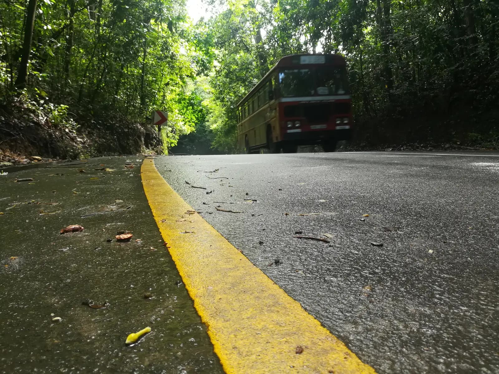
A small reserve of lowland evergreen rainforest beside the Galle–Udugama road, with walking paths under tall trees, a stream and a natural pool. It is a rare remnant of the forest that once covered this part of the island, and a good place for birds, including species found only in Sri Lanka.
Tip: The paths can be muddy and there may be leeches after rain, so wear closed shoes rather than riding sandals.
The roadkm 97.4–104.9
The B594, A17 and A2 bring you back through Galle's northern suburbs to the fort. Traffic is heavy in the late afternoon. The last 3 km into the fort are the same road you left by.
Finish
The loop comes back into Galle on the A2 and finishes where it started, at the main gate of the fort. Walk the ramparts round to the lighthouse and Flag Rock for the sunset over the sea.
You need a licence that Sri Lanka recognises for motorcycles. A foreign licence on its own is generally not enough: riders usually need a Sri Lankan permit or temporary licence, or an International Driving Permit covering motorcycles, and the requirements have changed in recent years. Check the current rules before you ride, and check that your travel insurance covers you on a motorcycle.
A 125 cc scooter is all you need for the flat coast and the gentle inland roads. Something with a little more power makes overtaking slow lorries on the A2 easier and safer. Motorcycles are not allowed on Sri Lanka's expressways, so if your phone's navigation suggests the Southern Expressway back to Galle, ignore it.
Fuel stations are frequent along the A2 between Galle and Matara. Inland there is one station in Akuressa, then nothing on the back roads until the outskirts of Galle, so fill up in Akuressa.
December to April is the dry season on the south coast, with calm seas and clear mornings. The southwest monsoon brings frequent heavy rain from about May to September, and October and November are often wet too. Whenever you ride, start early: the middle of the day is very hot, and afternoon storms are common.
Sri Lanka drives on the left, and helmets are compulsory for rider and passenger. Buses dominate the A2 and drive aggressively, overtaking into oncoming traffic and pulling in hard at stops: when one comes up behind you, move left and let it pass. On the back roads, give way to anything bigger than you on narrow bends.
These operators run guided tours from Galle, listed alphabetically. Contact any of them through Moto Mass.