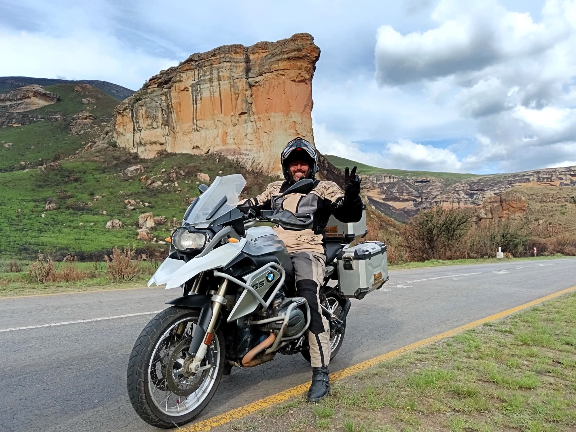
Southern Spear, 12 Days
Johannesburg, South Africa
12 days
€3,990 / person

Johannesburg's classic weekend ride: north out of the suburbs to the Hartbeespoort Dam, through the tunnel and across the dam wall, along the valley under the Magaliesberg, and home through the Cradle of Humankind.
Ask a Johannesburg rider where to go on a Sunday morning and most will say Harties. Within an hour of the northern suburbs the city gives way to bushveld, and the long quartzite wall of the Magaliesberg rises across the horizon. The road ducks through a short tunnel, crosses the curved wall of the Hartbeespoort Dam, built in a gorge through the range in the 1920s, and runs west through Kommando Nek into the farmland of the Magalies valley. From Hekpoort it climbs south over the hills to the highest point of the ride and comes home past the Sterkfontein Caves, at the heart of the Cradle of Humankind World Heritage Site.
Every kilometre is tarred, and the roads are mostly two-lane country roads with gentle curves, so it suits a newer rider and any bike from a 125 cc upwards. The work is in the traffic rather than the corners: busy suburban roads and minibus taxis at both ends, weekend crowds and queues around the dam, and cyclists on the country roads. Set out early, and allow most of a day with stops.
Longest stretch without a fuel station: about 68 km, between km 61 and km 129.
Start
The crossroads of Winnie Mandela Drive (until recently William Nicol Drive) and Witkoppen Road is the meeting point for half of Johannesburg's northern suburbs, and the road north starts right here. Fill up before you go: there are several stations on the first few kilometres of the R511.
Tip: Leave by 8 am on a weekend. The roads out are quiet, the light on the Magaliesberg is at its best, and you reach the dam before the crowds.
The roadkm 0–36
Winnie Mandela Drive, the R511, runs north out of Fourways past housing estates and then alongside Diepsloot, where minibus taxis stop and pull out without warning and people cross the road on foot. Beyond it the road opens into bushveld, dipping and climbing through rocky hills and smallholdings with long sight lines and few junctions. Fuel is plentiful on the first 20 km.
The roadkm 36–49
The R511 joins the R104 along the eastern shore of the dam through Meerhof and Schoemansville, a busy stretch of restaurants, stalls and driveways where speeds drop and cars turn without signalling. The R104 then passes through the single-lane tunnel, where traffic takes turns, and crosses the narrow road over the dam wall. This is the lowest part of the ride, at about 1,160 m.
Sight
Allow 30 min–1 hour
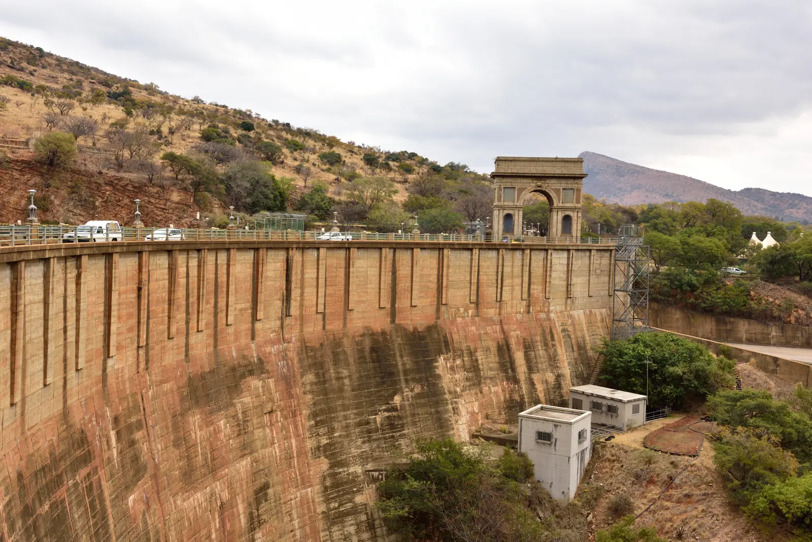
The dam holds back the Crocodile River where it cuts through the Magaliesberg, and the R104 runs across the top of its curved concrete wall. A short tunnel through the rock and a stone arch mark the wall's eastern end. Below the wall the gorge drops away to the river; above it the lake spreads back towards the mountains. Schoemansville, on the road just before the wall, is lined with places to eat, and the Harties cableway rises from near the R104 about 4 km before the wall to the crest of the range.
Tip: The tunnel is single-lane, so traffic takes turns; expect to queue on weekends, and do not stop on the wall itself.
The roadkm 49–81
The R512 climbs through Kommando Nek and drops into the valley, then from Skeerpoort the R560 runs west along the foot of the Magaliesberg to Hekpoort, with the ridge on your right the whole way. It is the most relaxed part of the loop: little traffic outside weekends, open farmland, and gentle bends. Expect tractors, slow trucks, cyclists and the odd animal on the road. The last fuel station before the long gap is near Skeerpoort, at about km 61.
Viewpoint
Allow 10–15 min
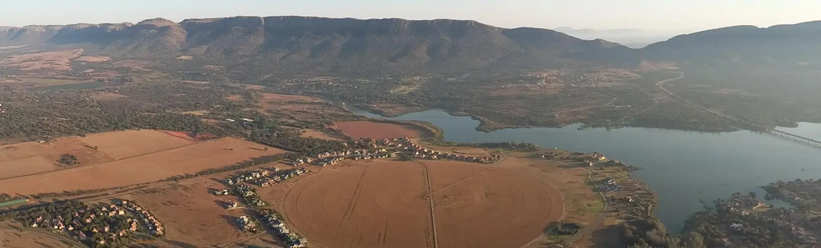
Just past the dam the road climbs through Kommando Nek, a gap in the Magaliesberg. Remains of Anglo-Boer War fortifications stand on the slopes either side of the pass. On the far side the road drops past the western arm of the dam into the Magalies valley, the farmland you ride through for the next 30 km.
Tip: Pull well off the road if you stop; traffic comes over the nek quickly from both sides.
Sight
Allow 15 min
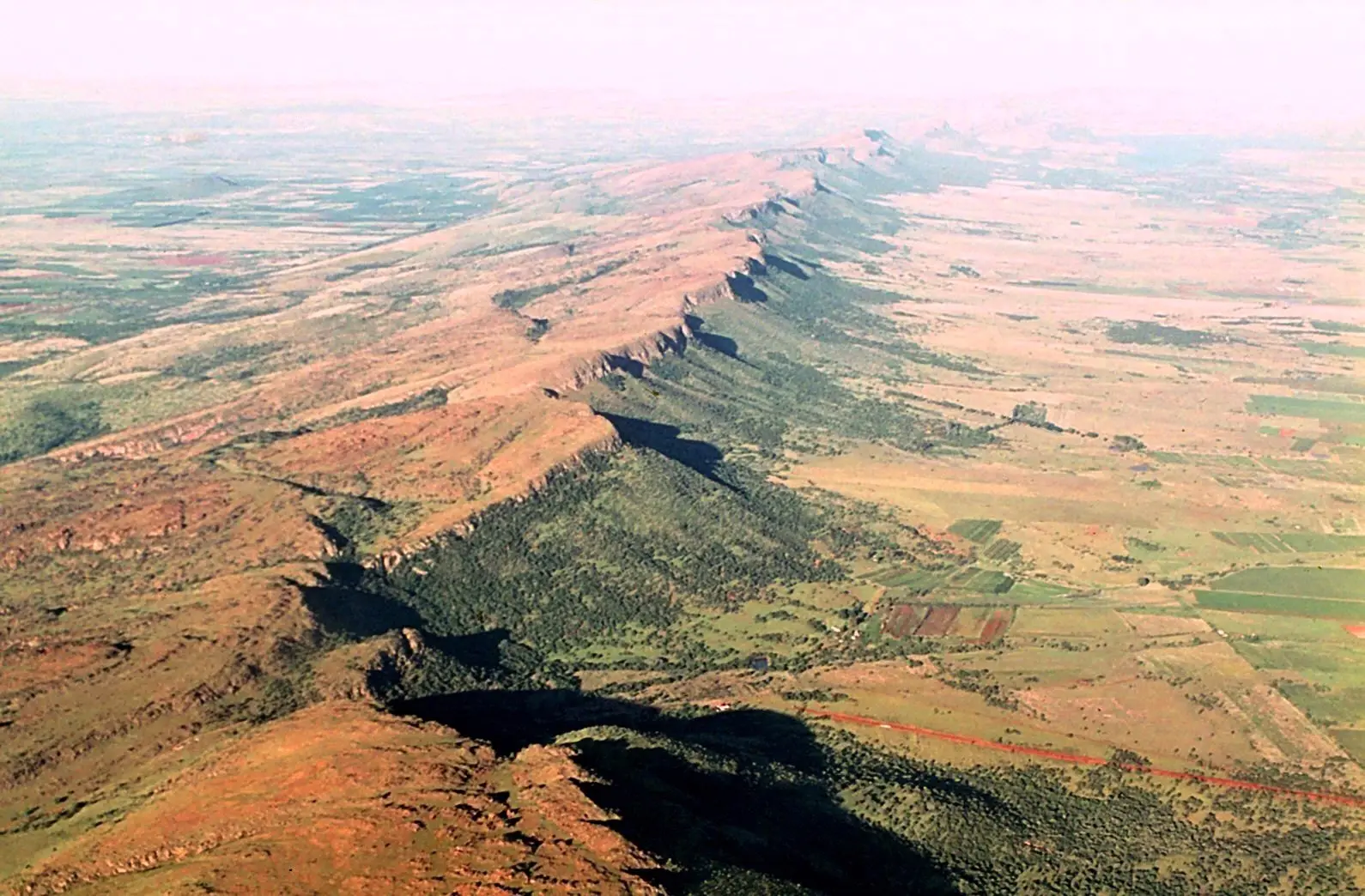
A small farming settlement in the valley at the foot of the Magaliesberg, where the R560 meets the R563. The Magaliesberg, one of the oldest mountain ranges on earth, runs above it as a single long ridge, and the range and its valleys are protected as a UNESCO biosphere reserve. This is the turning point of the loop: from here you head south, away from the mountains.
Tip: There is no fuel station on the road between Skeerpoort and Lanseria, so check your range here before the climb.
The roadkm 81–107
The R563 heads south from Hekpoort and climbs steadily out of the valley, about 330 m in 12 km, to the highest point of the ride at about 1,610 m near km 92. The road passes the site of an Anglo-Boer War fort known as Barton's Folly early in the climb. At the R563's end, Sterkfontein Caves Road runs east through open grassland past the caves and other fossil sites of the Cradle of Humankind.
Sight
Allow 1½ hours with a cave tour
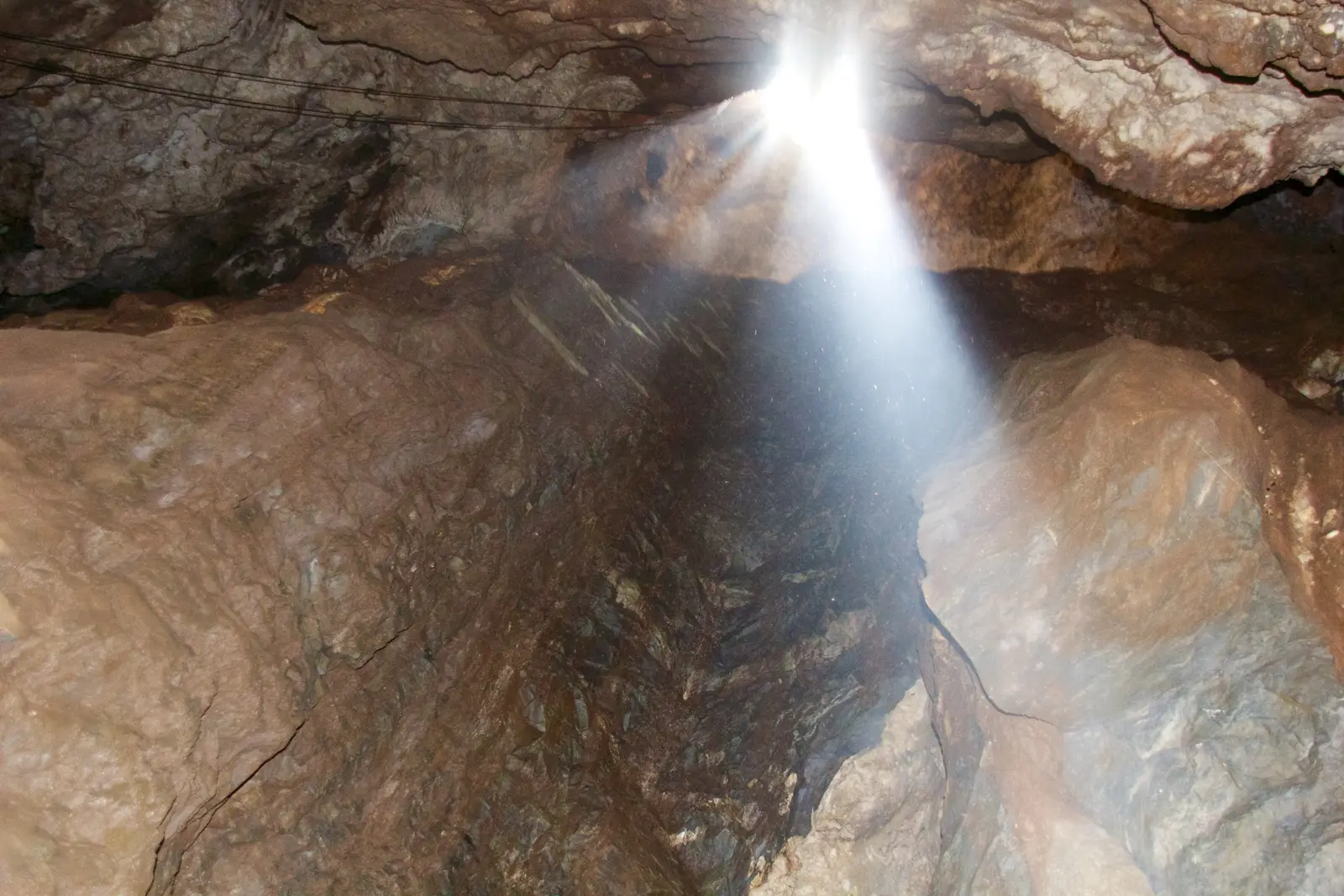
A limestone cave system that has given up some of the most important early human fossils ever found, among them the skull known as Mrs Ples in 1947 and the near-complete skeleton known as Little Foot. It lies at the centre of the Cradle of Humankind, a World Heritage Site since 1999. Guided tours lead underground, and the visitor centre, a short way off Sterkfontein Caves Road, explains the finds.
Tip: Cave tours run at set times and charge a fee; check before you go that the caves are open for tours.
The roadkm 107–143
The R540, Kromdraai Road, winds north-east through the Cradle's farms and small valleys, popular with cyclists on weekend mornings, and meets the R512 north of Lanseria. The R512 runs south past the airport, and the R552, Cedar Road, takes you east through the northern suburbs to Fourways, with traffic lights, estates and heavy traffic for the last 10 km. Fuel returns at about km 129.
Finish
Cedar Road brings you back through the estates of the northern suburbs to Fourways, where the loop closes at the same crossroads it started from. On a weekend afternoon the last few kilometres are the slowest of the day.
South Africa accepts a foreign driving licence that is in English, carries your photo and signature and covers motorcycles. If yours does not, carry an International Driving Permit with it. Check that your travel insurance covers riding a motorcycle or scooter of the size you hire.
Any bike from a 125 cc scooter up will manage the roads, which are all tarred and mostly gentle. A 150–300 cc motorcycle is more comfortable over the distance and keeps up better with traffic on the R511, R512 and Cedar Road, which carry fast cars and trucks.
There are plenty of stations in the northern suburbs, along the R511 and around the dam. After the station near Skeerpoort at about km 61 there is none on the route for almost 70 km, through Hekpoort and the Cradle of Humankind, until the R512 near Lanseria. Fill up around Harties at the latest.
From roughly October to March the Highveld has afternoon thunderstorms, often with lightning, heavy rain and sometimes hail, so ride in the morning and be home by early afternoon. Winter, from May to August, is dry and sunny but mornings are cold, close to freezing in the valleys. Autumn and spring are the most comfortable.
South Africa drives on the left, and helmets are compulsory for rider and passenger. Minibus taxis stop suddenly to pick up passengers, so leave room behind them. The country roads are shared with cyclists, slow farm vehicles and, on weekends, many other bikes and cars heading to Harties. Ride in daylight, and keep valuables out of sight when you leave the bike parked.
These operators run guided tours from Johannesburg, listed alphabetically. Contact any of them through Moto Mass.
Free ride routes