
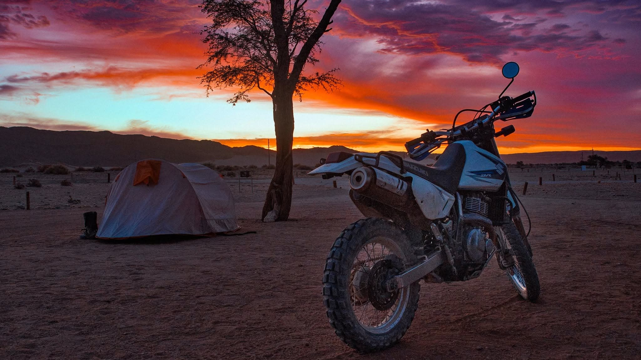
Namibia Adventure Tour
Windhoek, Namibia
14 days
€4,150 / person

A gravel day in the highlands west of Windhoek: out on the Swakopmund road, south across the dry bed of the Kuiseb, and home over the Kupferberg Pass at more than 2,000 metres. More than 90 km of it is gravel.
Windhoek sits in a bowl of hills, and the moment you leave it to the west you are in the Khomas Hochland: a high, rolling plateau of grass, thorn scrub and stony ridges, cut by dry riverbeds and fenced into enormous cattle farms. This loop takes the C28, the old road to Swakopmund, out past Daan Viljoen, then turns south on the D1418 and D1982 through farm country where you may not meet another vehicle for an hour, and climbs back to the C26 for the run home over the Kupferberg Pass, the highest point of the day and the best view of it.
Be clear about what this is: a gravel ride. The first 27 km and the last 24 km are tarmac, and everything in between, about 93 km, is graded dirt, with corrugations, loose gravel on the corners, sandy patches in the riverbeds and the odd sharp rock. It needs an adventure or dual-sport bike, tyres that suit dirt, and a rider who has done gravel before. There is no fuel between the edges of Windhoek, little phone signal once you leave the C28, and a lot of wildlife and livestock on the road. Ride it in daylight with a full tank and plenty of water, and it is one of the most rewarding half-days you can have from a capital city.
Longest stretch without a fuel station: about 141 km, between km 1 and km 142.
Start
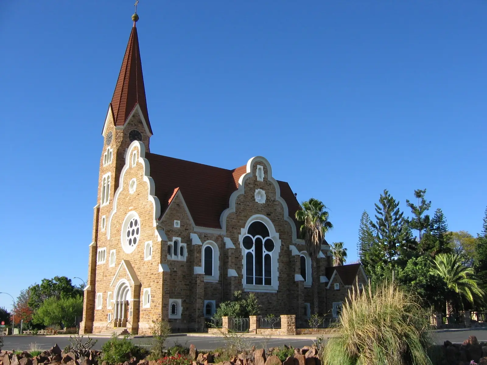
Windhoek's Lutheran church, finished in 1910, stands on a roundabout on the low hill above the city centre and is the landmark every rider in town knows. It is an easy place to meet and check the bikes before you go: tyre pressures for gravel, water, tools and a puncture kit.
Tip: Fill the tank in town before you leave. There is no fuel on the loop until you are back in Windhoek's southern suburbs.
The roadkm 0–27
Sam Nujoma Drive becomes the C28 and leaves the western suburbs behind within ten minutes. The road is two-lane tarmac across open hills, with the turning for Daan Viljoen on your right after about 17 km. Traffic thins out quickly once you pass the city edge.
SightDetour
Allow 1–2 hoursAbout 6 km each way on tarmac, north from the C28
A small game park in the hills just west of the city, around the Augeigas Dam. Walking trails climb into the highlands from the gate area, and game such as antelope and mountain zebra graze the slopes. It makes a gentle first stop, or a separate morning if you want to walk rather than ride.
Tip: A park entry fee is charged at the gate. Ask there which roads are open to motorcycles; you may have to park and walk.
The roadkm 27–36.6
The tarmac ends and the C28 continues as a wide graded gravel road, the old route to the coast over the Bosua Pass, with corrugations and loose stones at the edges. Take the first few kilometres slowly while you get the feel of the surface. Turn left onto the D1418 at the small settlement of Baumgartsbrunn.
The roadkm 36.6–86.2
The quietest and best part of the day. The D1418 is a narrower farm road that winds south over low ridges and across the Kuiseb and other dry riverbeds, reaching the lowest point of the loop, a little over 1,500 metres, around km 69. Expect soft sand where the road crosses a riverbed, blind crests, cattle grids and, in places, short climbs of around 8%. Kudu, warthog and cattle cross without warning; keep your speed down.
Sight
Allow 15 min
The D1418 dips across the bed of the Kuiseb, here only a short way from where it rises in the Khomas Hochland. The same river runs south-west for hundreds of kilometres, through the Kuiseb Canyon and along the edge of the Namib's dune sea towards Walvis Bay. For most of the year it is a dry, sandy channel, and a good place to stop, drink some water and listen to how quiet the highlands are.
Tip: After heavy rain the river can run across the road. Never ride into flowing water you cannot see the bottom of; wait for it to drop or turn back.
The roadkm 86.2–107.8
At the junction turn left onto the D1982, which climbs steadily north-east through the hills towards the C26. The surface is similar: generally good, with loose gravel on the bends and corrugations where vehicles brake.
The roadkm 107.8–120.4
Turn left onto the C26, the gravel road from the Gamsberg Pass, and climb to the top of the loop at over 2,000 metres. This is a busier road than the D1418, with more cars and 4x4s throwing up dust and stones: ride well left, and pull over if a vehicle behind you is pushing.
Viewpoint
Allow 20 min
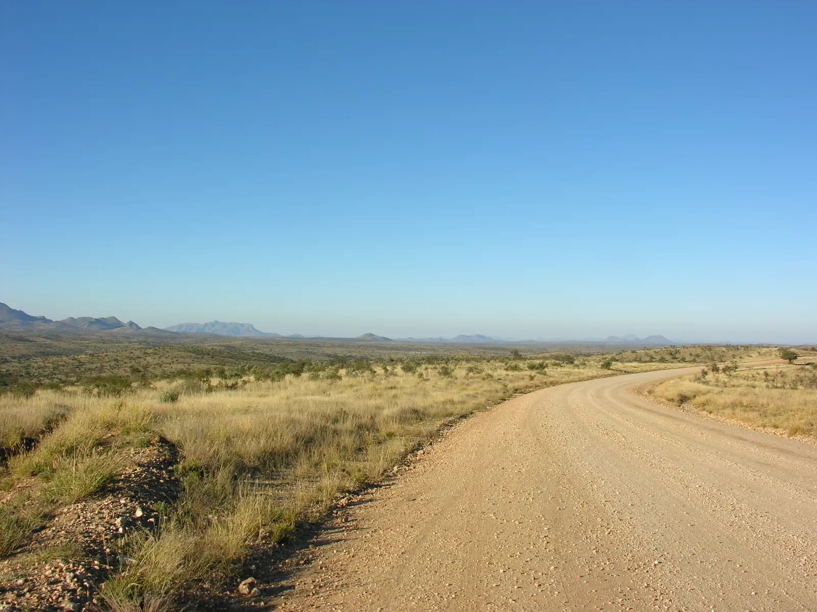
The C26 climbs out of the farmland to the top of the loop at a little over 2,000 metres, about 350 metres higher than Windhoek. A viewpoint at the top looks out over ridge after ridge of the Khomas Hochland. The tarmac starts just beyond it, so this is also where the dirt ends.
Tip: Air your tyres back up here if you let them down for the gravel; the rest of the way is tarmac.
The roadkm 120.4–144.8
The tarmac begins just past the top of the pass. The C26 drops through the hills in a series of sweeping bends, with stretches of around 8%, then levels out into the south-western suburbs. It is tempting to open up here after the gravel; watch for animals on the road and for traffic joining from the suburbs as you come into town.
Finish
The C26 drops off the pass and comes into Windhoek from the south-west, past Pioneers Park and along Mandume Ndemufayo Avenue to the centre. The cafés and restaurants of Independence Avenue are a few minutes' walk below the church, and the Alte Feste and the Independence Memorial Museum stand right beside it.
Visitors generally need their home licence, in English, together with an International Driving Permit that covers motorcycles. Check the current rules before you ride, and check that your travel insurance covers riding on gravel roads.
An adventure or dual-sport bike with dual-purpose tyres, and a rider with gravel experience. Around 93 km of the loop is dirt, and corrugations, loose corners and sand in the riverbeds will catch out a road bike or a scooter. Carry a puncture kit, a pump and basic tools: help can be a long way off.
There is no fuel on the loop outside Windhoek, so leave with a full tank. Carry more water than you think you need, at least two litres each, and some food. Phone signal is patchy to absent on the D1418 and D1982; tell someone your route and when you expect to be back.
The dry winter months from May to September give the most reliable gravel and clear skies, but mornings at 2,000 metres are cold, sometimes below freezing, so start mid-morning and dress in layers. Summers are hot, and the rains, roughly November to April, bring afternoon storms that can make the dirt slippery and send water across the riverbed crossings.
Namibia drives on the left, and helmets are compulsory. On gravel, ride well left over blind crests and slow right down when a vehicle comes the other way, since dust and flying stones are the main danger. Kudu, warthog, baboons and livestock cross the roads at any time. Do not ride after dark. If you find a farm gate across the road, leave it as you found it.
These operators run guided tours from Windhoek, listed alphabetically. Contact any of them through Moto Mass.