
The North Luzon Loop: Motorcycle Route Guide
A North Luzon loop takes you north out of Manila, up into the Cordillera on the Halsema Highway to Sagada, Bontoc and Banaue, and back down either along the Ilocos coast through Vigan and Pagudpud or through the Cagayan valley. The short version is a Cordillera loop of about 800 km that fits into five to seven days. The full loop, round the top of Luzon and back, runs to about 1,600 km and needs ten days or more.
Three things shape the trip: when you go, because the rainy season closes Cordillera roads; what you ride, because motorcycles under 400 cc are banned from the expressways out of Manila; and how many days you allow, because mountain distances take far longer than the map suggests.
The short answer
- Route: Manila, Baguio, the Halsema Highway to Sagada, a day to Bontoc and Banaue, then back via Vigan and the Ilocos coast or via Pagudpud, Aparri and the Cagayan valley.
- Distance: about 800 km for the Cordillera loop, 1,350 to 1,600 km with the coast or the full loop.
- Days: 5 to 7 for the Cordillera, 8 to 10 with the Ilocos coast, 12 to 14 for the full loop with rest days.
- Best months: December to April, the dry season on the western side. Avoid June to October if you can.
- Bike size: 400 cc or more if you want to use NLEX, SCTEX and TPLEX. Smaller bikes take the old highways.
Quick facts
| Item | Detail |
|---|---|
| Start and finish | Metro Manila |
| Key roads | NLEX, SCTEX and TPLEX (400 cc and up only), Marcos Highway or Naguilian Road to Baguio, Halsema Highway (N204), Tagudin to Sabangan road (N205), MacArthur Highway down the Ilocos coast, Maharlika Highway through the Cagayan valley |
| Surface | Paved on the main route, with one-lane sections where slips have taken part of the road |
| Fuel | Stations in all the main towns, including Sagada, Bontoc and Banaue |
| Riding side | Right |
The common loops
There is no single official route. Most riders build one of three loops, all starting from Manila.
Cordillera loop, 5 to 7 days
Manila to Baguio, the Halsema Highway to Sagada, then east through Bontoc to Banaue, and south through Nueva Vizcaya back to Manila. About 810 km: all the mountain riding and none of the coast.
Cordillera and Ilocos, 8 to 10 days
As above to Sagada and Banaue, then west over the Cervantes road to the coast at Tagudin, north to Vigan and Pagudpud, and back south down the Ilocos and La Union coast to Manila. About 1,350 to 1,450 km, depending on side trips.
The full North Luzon loop, 12 to 14 days
The Cordillera and Ilocos, then round the northern tip past Pagudpud to Claveria and Aparri, south through Tuguegarao and the Cagayan valley, and back over the Dalton Pass to Manila. About 1,600 km before side trips. The guided and self-guided tours we list in the Philippines run 9 or 14 days and cover roughly 1,300 to 2,000 km, because they add places like Baler on the Pacific coast or the Hundred Islands.
| Day | Stage | Approx. distance | Realistic riding time | Overnight |
|---|---|---|---|---|
| 1 | Manila to Baguio | 250 to 260 km | 5 to 6 hours on the expressways, 7 to 9 hours on the old highway | Baguio |
| 2 | Baguio to Sagada on the Halsema Highway | 140 km | 5 to 6 hours | Sagada |
| 3 | Sagada to Banaue via Bontoc and back | 125 km | 4 to 5 hours | Sagada, or stay in Banaue |
| 4 | Sagada to Vigan via Cervantes and Tagudin | 225 km | 6 to 7 hours | Vigan |
| 5 | Vigan to Pagudpud via Laoag | 155 km | 3.5 to 4.5 hours | Pagudpud |
| 6 | Pagudpud to Tuguegarao via Claveria and Aparri | 240 km | 5 to 6 hours | Tuguegarao |
| 7 | Tuguegarao to Santiago | 130 km | 3 to 3.5 hours | Santiago |
| 8 | Santiago to Manila via the Dalton Pass | 330 km | 7 to 9 hours | Manila |
Distances are rounded, measured between town centres on OpenStreetMap routing. Riding times are our estimates for a mid-size bike with stops; traffic, rain, fog and roadworks can add hours. The table has no rest days, so add at least two.
Two alternatives for the Ilocos stages. If you skip the Cagayan valley, Pagudpud back to Manila down the coast is about 560 km, which is two long days via Vigan and San Fernando, La Union. And from Sagada, a shorter road runs west through Besao towards Quirino in Ilocos Sur, about 145 km to Vigan. We could not confirm its current condition, so ask in Sagada before you take it.
Getting out of Manila: the 400 cc rule
The fastest way north is NLEX, then SCTEX, then TPLEX, which ends at Rosario in La Union. From there you climb to Baguio on Marcos Highway (officially the Aspiras to Palispis Highway, 47 km from Agoo) or on Kennon Road when it is open.
Only motorcycles of at least 400 cc are allowed on the expressways. The rule comes from a 2007 order of what was then the Department of Transportation and Communications, usually cited as Department Order 2007-38, and the Toll Regulatory Board has told tollway operators to enforce it strictly. The board has said that 398 cc and 399 cc bikes do not count as 400 cc, and that the engine's technical specification decides it, not the badge. Expressway operators were still apprehending riders of smaller bikes in 2023, and we found no change to the rule as of November 2026.
The Halsema Highway
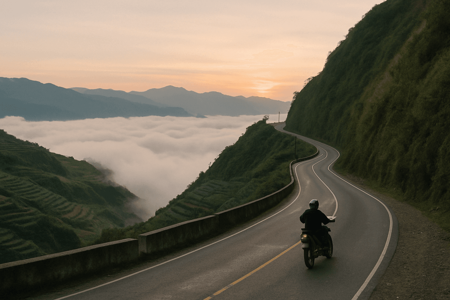
The Halsema Highway, also called the Baguio to Bontoc Road or the Mountain Trail, runs about 150 km from Baguio to Bontoc, 95 km of it in Benguet, through La Trinidad, Atok, Buguias, Bauko and Sabangan.
Its official highest point is in Atok, at 2,255 m (7,400 ft), marked at the Km 53 post. Until 2019 this was the highest point of the Philippine highway system. That year the Department of Public Works and Highways (DPWH) gave the title to the Kiangan to Tinoc to Buguias Road in Ifugao, at 2,428.66 m. Satellite elevation data show the road staying above about 2,000 m for some 35 km through Atok and Buguias, and again further north, so expect cold and cloud for a long stretch, not just at one marker.
The road is paved and mostly two lanes, with steep drops, tight bends through farming villages and a steady flow of buses and trucks. Fog often sits on the high section. It gets properly cold: Baguio averages lows of about 13°C in January, and the state weather service PAGASA recorded 5°C at Atok on 23 January 2026, with frost on vegetable fields at Paoay. Carry a warm layer and winter gloves from December to February.
The road is never quite finished. In 2026 alone, DPWH closed it at Sabangan in May and June for landslides and rockfall, and reduced it to one lane at Caliking, Atok, in August after a road slip.
Sagada, Bontoc and Banaue
Sagada is the usual base, about 140 km from Baguio and 18 km from Bontoc. Visitors register at the municipal tourism office on arrival and pay a small environmental and registration fee, last reported at 100 pesos. Confirm the current amount on arrival.
From Bontoc the road to Banaue climbs over the Mount Polis pass at about 1,900 m and drops into Ifugao, about 45 km. It is slow, narrow in places and often foggy. Sagada to Banaue is about 63 km each way, so a day trip from Sagada is realistic. Banaue to Manila through Nueva Vizcaya is about 350 km, a long day.
Back via the coast or the Cagayan valley
The Tagudin to Cervantes to Sabangan road (N205), about 98 km, links the Halsema Highway at Sabangan with the coast at Tagudin, passing the Bessang Pass battle site in Cervantes. From Tagudin it is about 90 km north on MacArthur Highway to Vigan.
North of Vigan the coast is flat and quick to Laoag, then hillier past Cape Bojeador to Pagudpud and the Patapat Viaduct. Beyond that the road turns east along the north coast to Claveria and Aparri, then south through the Cagayan valley on the Maharlika Highway. The valley road is mostly flat and quicker, and traffic builds south of the Dalton Pass towards Manila.
Landslide season and road closures
PAGASA puts the rainy season at June to November. Baguio's long-term averages show 15 to 25 mm of rain a month in January and February, against roughly 780 mm in July and 900 mm in August, and tropical cyclones peak from July to October. Landslides, rockfall and road slips close Cordillera roads every year.
Kennon Road, the old direct climb to Baguio, is the most often closed. In 2026 it was restricted to light vehicles in March, closed to all vehicles after a retaining wall collapsed in May, and closed to non-residents in August. Plan to use Marcos Highway or Naguilian Road, and treat Kennon as a bonus if it happens to be open.
Closures are announced by DPWH. The Cordillera regional office and its district engineering offices post advisories listing each section as passable, limited to light vehicles or one lane, or not passable, and they appear on the DPWH Cordillera Facebook page and in national news. Status changes by the hour in a storm.
When to ride it
December to April is the window for the Cordillera and the Ilocos coast. Vigan and Laoag average under 25 mm of rain a month from December to April. December to February is cool and clear but cold at altitude. March to May is hot in the lowlands. The Cagayan valley and the Pacific side run on a different clock: Tuguegarao's wettest months are October and November, so a full loop in November can be dry in Vigan and wet in Tuguegarao.
For 2026 to 2027, PAGASA said on 4 November 2026 that a very strong El Niño is under way and expects its effects through the first half of 2027: drier and hotter than usual, though tropical cyclones and heavy rain can still happen. Our best time to ride the Philippines guide goes month by month, with typhoon numbers and holiday dates.
How many days
Five days covers the Cordillera loop on a 400 cc or bigger bike with no slack. Seven gives you a spare day in Sagada and a day in hand for weather. Allow 8 to 10 days with the Ilocos coast, and 12 to 14 for the full loop with rest days. Add a day on a scooter, because the first and last stages take much longer without the expressways, and two in the rainy season, because a closure can hold you in place.
Rules, licences and rental bikes
- Licence. Under the Land Transportation and Traffic Code (Republic Act 4136, section 21), a tourist licensed in their own country may drive for up to 90 days of their stay. After that you need a Philippine licence from the Land Transportation Office (LTO). The UK government's travel advice gives the same 90 days for UK licences. Your licence must cover motorcycles, and carry your passport so you can show your arrival date. Our Philippines licence checker covers International Driving Permits by nationality.
- Helmets. The Motorcycle Helmet Act (Republic Act 10054) requires the rider and passenger to wear a standard helmet at all times. New helmets must carry a Philippine Standard (PS) mark or an Import Commodity Clearance (ICC) sticker. The fine is 1,500 pesos for a first offence, and a helmet without the mark can also be fined, so a helmet brought from home may not meet the letter of the law. Ask your rental shop.
- Rental bikes. Most rental shops offer scooters of 110 to 160 cc, at roughly 500 to 1,200 pesos a day in Metro Manila according to one shop's 2026 price guide. Specialist shops in Metro Manila also rent bigger bikes of around 400 to 650 cc, listed at about 1,400 to 3,500 pesos a day in 2024. Expect a deposit, an ID or passport held by the shop, and often a daily limit of 250 to 350 km, which the long stages above exceed. Ask for the registration papers to travel with the bike.
- Checkpoints. Police checkpoints are routine. Carry your passport, licence and the bike's papers, not copies.
Guided or on your own
An experienced rider can do the loop independently if they plan around the expressway rule and the weather. The tours we list cover the North Luzon loop, a mountain and highlands route and coastal and island routes, guided or self-guided with rooms booked; see our Philippines motorcycle tours page. Either way, ask what happens when a landslide closes the road.
Frequently asked questions
How long is the North Luzon loop?
About 800 km for the Cordillera loop through Baguio, Sagada and Banaue. With the Ilocos coast it is about 1,350 to 1,450 km, and the full loop round the top of Luzon and back through the Cagayan valley is about 1,600 km before side trips.
Can I ride a scooter on NLEX or TPLEX?
No. Only motorcycles of 400 cc and above are allowed on the expressways, and bikes of 398 or 399 cc do not qualify. On a scooter you take MacArthur Highway and the other old roads, which adds hours to the first and last days.
How high is the Halsema Highway?
Its official highest point is 2,255 m (7,400 ft) at Atok in Benguet. It was the highest point of the Philippine highway system until 2019, when DPWH named a higher point on the Kiangan to Tinoc to Buguias Road in Ifugao.
Is the Halsema Highway dangerous?
It is a paved mountain road with steep drops, fog and heavy vehicles, regularly closed or cut to one lane by landslides in the rainy season. In the dry months, ridden in daylight without hurry, it suits an experienced rider.
Can I ride in the Philippines on my foreign licence?
Yes, for up to 90 days from arrival under Republic Act 4136, provided the licence covers motorcycles. After 90 days you need a Philippine licence from the LTO.
Motorcycle tours in the Philippines on Moto Mass
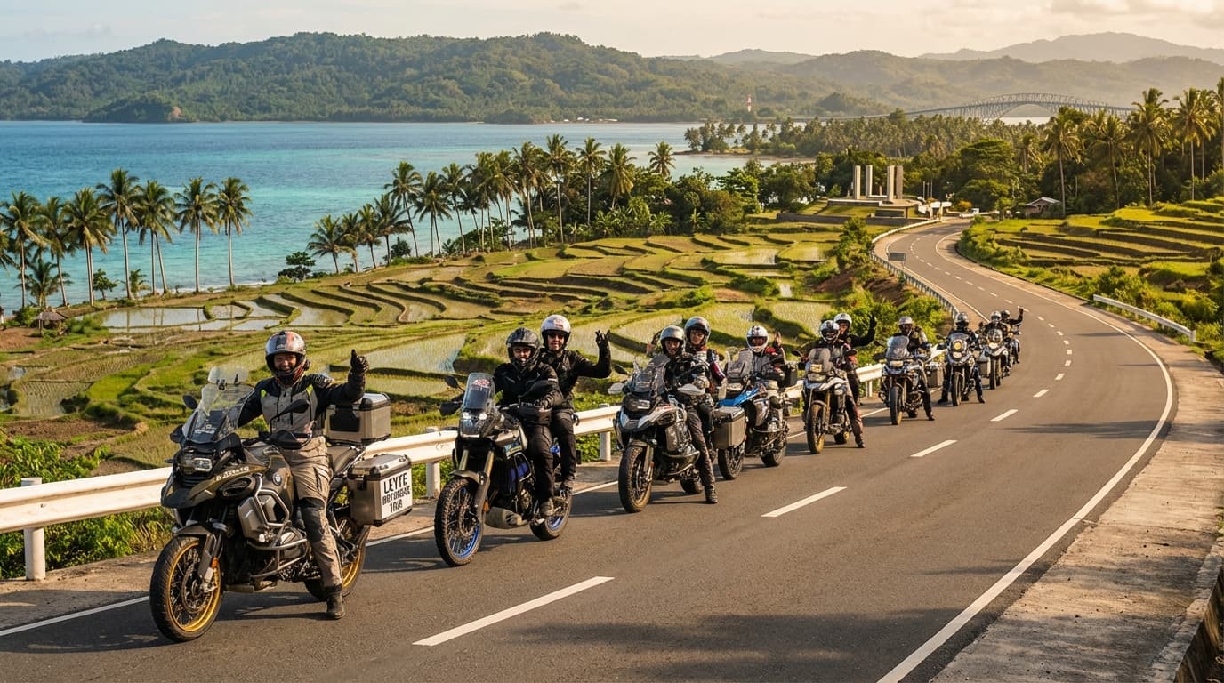 4 days
Leyte Motorbike Tour
Leyte, Philippines
Contact for priceby Haven’s Rentals 9 days
Coastal & Islands, 9 Days Guided
Tagaytay, Philippines
Contact for priceby XPLR PH 9 days
Mountain & Highlands, 9 Days Guided
Tagaytay, Philippines
Contact for priceby XPLR PH 9 days
Mountain & Highlands, 9 Days Self-Guided
Tagaytay, Philippines
Contact for priceby XPLR PH 9 days
Coastal & Islands, 9 Days Self-Guided
Tagaytay, Philippines
Contact for priceby XPLR PH 14 days
Islands & Beaches, 14 Days Guided
Tagaytay, Philippines
Contact for priceby XPLR PH 14 days
North Luzon Loop, 14 Days Self-Guided
Tagaytay, Philippines
Contact for priceby XPLR PH 14 days
North Luzon Loop, 14 Days Guided
Tagaytay, Philippines
Contact for priceby XPLR PH
Listed by country and length, never by operator. Every tour page has a form to ask the operator a question before you book.
Check what you need to ride in Philippines
Three answers and you get a plain verdict. Rules checked against official sources; links below.
This is general information from official sources, not legal advice. Rules change; check with the embassy if your trip depends on it.