
Highlights
When Philadelphia riders say they are going up the river, they mean this. Route 32, River Road, follows the Pennsylvania bank of the Delaware for 30 miles from Yardley to Upper Black Eddy, squeezed between the water, the old towpath canal and wooded bluffs, through Washington Crossing, New Hope and a string of stone villages that have barely changed in two centuries. At Upper Black Eddy you cross a 1930s steel truss bridge to Milford, New Jersey, and come back down the other bank through Frenchtown, Stockton and Lambertville, with the river beside you most of the way. A short run up the interstate gets you there from the city, and a quieter road through Newtown brings you home.
The river road is flat and paved, but it is not a road for making time. Route 32 is narrow, often without a shoulder, with stone walls, houses and trees right at the edge of the tarmac and some sharp, blind bends; the New Jersey side on Route 29 is wider and more flowing. It suits any rider who is happy to ride at a relaxed pace among cyclists and weekend traffic, on anything from a cruiser to a small rented bike. The one real hazard is a bridge: the crossing back at Washington Crossing has an open steel-grate deck that makes the front wheel squirm.
Longest stretch without a gas station: about 52 miles, between mile 1 and mile 52.
The ride, stop by stop
- 1mile 0
Start
Frankford Avenue Bridge
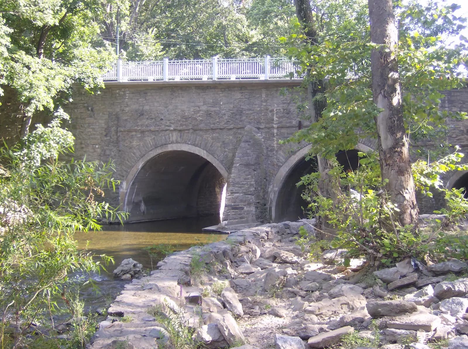
Photo: Coemgenus at English Wikipedia, public domain Three stone arches over Pennypack Creek in Holmesburg, built in 1697 on the King's Highway from Philadelphia to New York and the oldest surviving roadway bridge in the United States. Washington crossed it in 1789 on his way to his inauguration. It makes a fitting start for a ride that follows his footsteps upriver, and it sits in Northeast Philadelphia, a couple of minutes from I-95, so you leave the city without fighting its streets.
Tip: Fill up before you join I-95: there is no fuel close to the route for the next 51 miles, until Milford in New Jersey.
The roadmiles 0–21
Out of the city
US 13Academy RoadI 95I 295PA 332City streets, then interstateFrankford Avenue and Academy Road take you to I-95 within 2 miles. The interstate runs north through the suburbs and becomes I-295 at the Pennsylvania Turnpike interchange; leave it at the exit for Route 332 and follow it into Yardley. It is 17 miles of fast, heavy traffic with little to see: the price of a quick escape.
The roadmiles 21–32
Yardley to New Hope
PA 32Two-lane road, narrow in placesRoute 32 leaves Yardley as River Road and follows the river and the Delaware Canal north, past large houses, through Washington Crossing and below Bowman's Hill. The road is level and gently curving. Watch for cars backing out of driveways, cyclists, and walkers crossing to the towpath.
- 2mile 24.9
Sight
Washington Crossing Historic Park
Allow 30–60 min
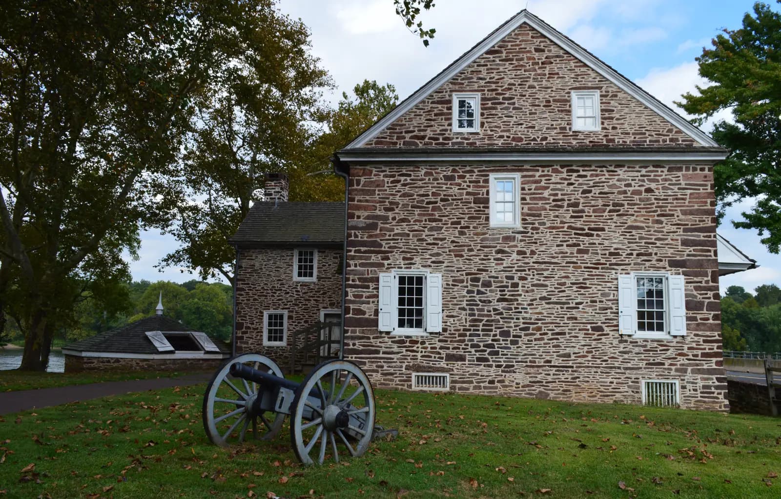
Photo: Susan Spitz, CC BY-SA 4.0 You pass through Washington Crossing on the way out; stop on the way home, just after the bridge. On the night of 25 December 1776 Washington took his army across the icy Delaware from this landing to attack Trenton. The lower park keeps the stone McConkey's Ferry Inn, where he and his officers ate and made their plans, and a barn of replica Durham boats like the ones that carried the troops. The park's upper section, about 4½ miles upriver, has Bowman's Hill Tower, a stone lookout tower a short ride up the hill from River Road, which you pass on the way out.
Tip: Use the park's parking lots rather than the narrow roadside. On Christmas Day the crossing is re-enacted here and the village fills up.
- 3mile 32.1
Coffee
New Hope
Allow 30–45 min
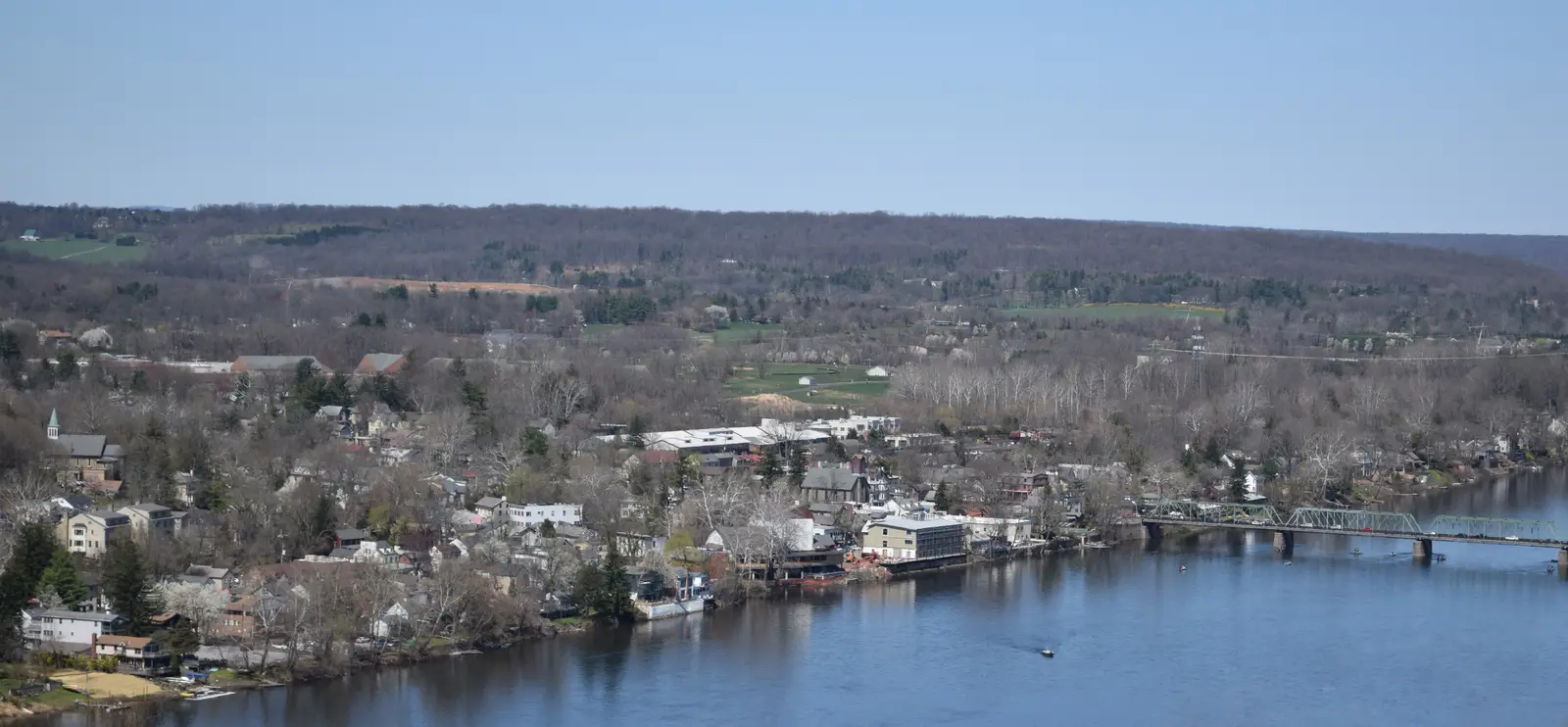
Photo: Enzo Arcamone, CC BY-SA 4.0 River Road becomes Main Street through New Hope, an old mill and canal town turned arts colony, with galleries, cafés and a riverside path along the towpath. A truss bridge links it to Lambertville on the New Jersey bank, which you ride through later. On a fine weekend this is the busiest place on the loop and a classic place for riders to park up and stretch.
Tip: Parking in town is paid and fills by late morning at weekends; arrive early or stop here on the way back from a weekday ride.
The roadmiles 32–51
The upper River Road
PA 32Narrow two-lane road, tight cornersThe heart of the ride. Past New Hope, Route 32 narrows and threads through Centre Bridge, Lumberville, Point Pleasant, where Tohickon Creek joins the river, Erwinna and Uhlerstown, with the canal and stone walls on one side and wooded bluffs on the other. There are sharp, blind bends with little room for error, few places to pass and almost no shoulder. Keep the pace down and watch for gravel, wet leaves and oncoming cars cutting the corners. If you want more, Route 32 carries on north beyond Upper Black Eddy below the Nockamixon Cliffs towards Riegelsville.
The roadmiles 51–72
Down the Jersey bank
CR 519CR 619NJ 29Two-lane highway, wider and flowingOver the bridge, county roads 519 and 619 follow the river to Frenchtown, where you pick up Route 29. From there to Stockton the road is wider, smoother and faster than Route 32, with long sweeping bends between the river and the hills and a walking and cycling path on the old railway bed alongside. It is the most enjoyable riding of the day; Stockton and Lambertville slow you down again with traffic lights and pedestrians.
- 4mile 51.3
Viewpoint
Upper Black Eddy–Milford Bridge
Allow 10 min
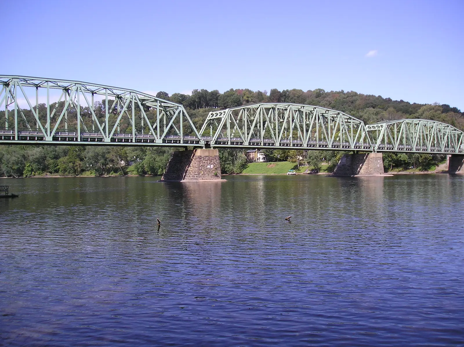
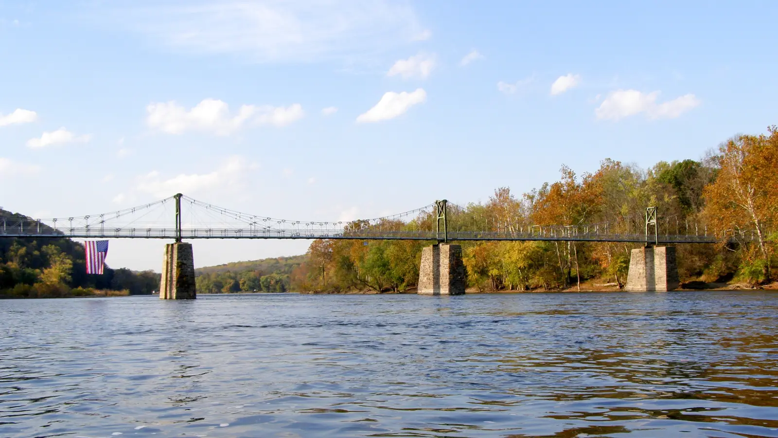
Photo: Aerolin55, CC BY-SA 3.0 The turning point. A three-span steel truss from 1933, 700 feet long, carries you from Upper Black Eddy to Milford, New Jersey. It is the best crossing on this stretch for a motorcycle: its deck is concrete-filled steel grid, solid underfoot, where several of its neighbours are open grate. Cross slowly and look up and down the river: it is wide and quiet here, with wooded hills on both banks.
Tip: The bridge is posted at 15 mph. The first fuel since Philadelphia is in Milford, just over the bridge.
- 5mile 55.6
Food
Frenchtown
Allow 1 hour with lunch
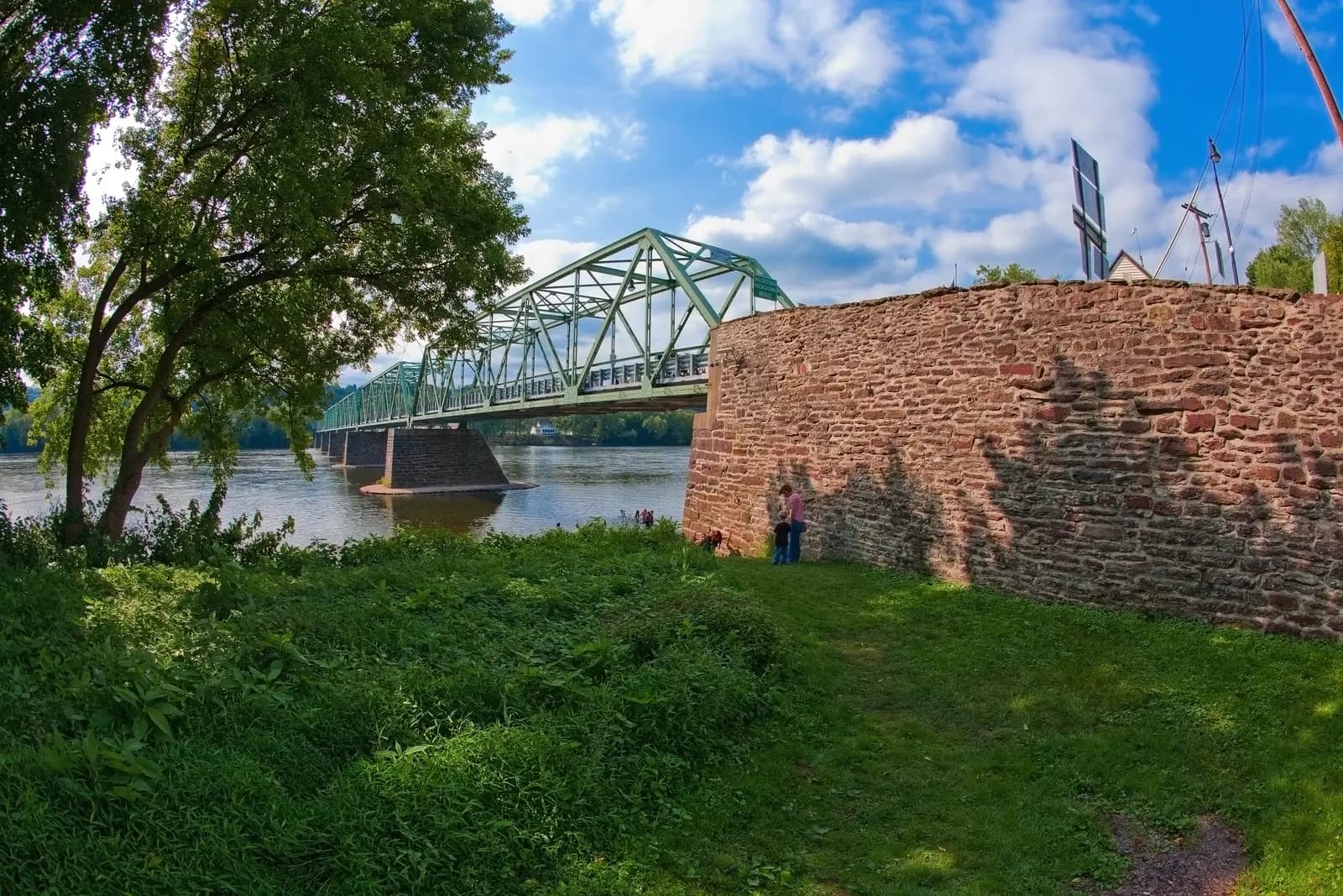
Photo: DDauri Daniel D'Auria, CC BY-SA 3.0 A small Victorian river town at the end of the Uhlerstown–Frenchtown Bridge, with cafés, restaurants and shops along Bridge Street and Race Street. It comes just after halfway and is calmer than New Hope, which makes it the natural lunch stop. The riverbank by the bridge is a pleasant place to sit.
Tip: New Jersey gas stations are full service only: stay on the bike and let the attendant fill the tank.
- 6mile 64.7
Viewpoint
Bulls Island
Allow 30 min
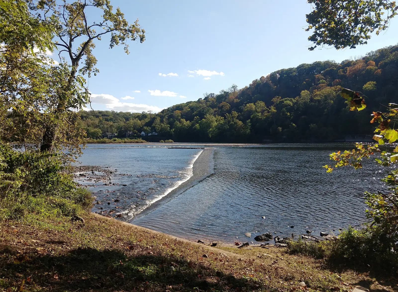
Photo: Mr. Matté, CC BY-SA 4.0 An island between the river and the Delaware and Raritan Canal, part of the canal's state park, with shaded lawns and a canal path. From here a 688-foot suspension footbridge, one of only two pedestrian-only bridges over the Delaware, crosses to Lumberville in Pennsylvania. Walk out to the middle for the best view of the river on the whole ride, with the long diagonal wing dam below.
Tip: The entrance is off Route 29 at Raven Rock, about 4 miles north of Stockton, and the lot is a quiet place to leave the bike while you walk.
The roadmiles 72–80
Lambertville to Washington Crossing
South Main StreetNJ 29Two-lane highway, then a grate-deck bridgeRoute 29 leaves Lambertville along Main Street and runs south under wooded hills to Washington Crossing State Park, where you turn right onto the Washington Crossing Bridge. Its deck is open steel grate and only 15 feet wide, posted at 15 mph: keep a steady throttle, ride straight, don't brake or change line on it, and expect the front tyre to feel vague. In the wet it is slippery.
The roadmiles 80–102
Home through Newtown
PA 532US 1Rhawn StreetTwo-lane and four-lane suburban roadsRoute 532 heads inland through farmland and the historic centre of Newtown, then becomes a busy suburban road through Holland and Feasterville and into Northeast Philadelphia as Bustleton Avenue. There are plenty of traffic lights and plenty of fuel. A short stretch of Roosevelt Boulevard (US 1), a wide, fast road with speed cameras, and Rhawn Street take you back to Frankford Avenue.
- 7mile 101.9
Finish
Frankford Avenue Bridge
Rhawn Street brings you back to Frankford Avenue and the bridge where you started. Pennypack Park follows the creek on both sides, a good place to walk off the ride.
Before you ride
Licence and insurance
You need a motorcycle licence: a US licence with a motorcycle endorsement (class M), or for visitors a home licence that covers motorcycles, usually together with an International Driving Permit. Rental companies set their own rules on licences, age and insurance, so check before you book, and carry proof of insurance.
Rules of the road
Traffic drives on the right. New Jersey requires a helmet for every rider and passenger. Pennsylvania requires one for riders under 21 and for those with less than two years' licensed experience who have not passed an approved safety course; most riders wear one anyway. Both states require eye protection, such as a visor or goggles.
Bridges and tolls
The loop is toll-free: the old river bridges are free to cross. Several are narrow steel trusses posted at 15 mph, and some, including Washington Crossing, Frenchtown and Riegelsville, have open steel-grate decks that make a motorcycle wander, especially in the wet. The Upper Black Eddy–Milford Bridge on this route has a solid concrete-filled deck, which is one reason to cross there.
Fuel
Fill up in Philadelphia: the first station close to the route is in Milford, about 51 miles out, with none on the interstate or on River Road. On the New Jersey side there are stations in Milford, Frenchtown, Stockton and Lambertville, where self-service is not allowed and an attendant fills the tank. Pumps often ask for a US ZIP code, so visitors with foreign cards may need to pay inside.
When to ride
May, June, September and October are best. Summer is hot and humid, with afternoon thunderstorms. October brings the autumn colour and the heaviest traffic of the year. After heavy rain the Delaware floods, and Route 32 and Route 29 can close in low-lying stretches; check PennDOT's 511PA and New Jersey's 511NJ before you go.
Traffic and safety
On fine weekends New Hope and Lambertville crawl from late morning, and River Road is full of cyclists and slow sightseers, so leave early or ride on a weekday. Watch for deer along the river at dawn and dusk. Mobile signal can drop on the narrow stretches under the bluffs.
Ride further
Liked riding this one on your own? Moto Mass lists small, local operators who run guided motorcycle tours in these countries.
Free ride routes