
Namibia Motorcycle Tour Guide: Seasons, Gravel Roads and Planning
Namibia is a gravel country. Of the roughly 48,500 km of proclaimed roads, the Roads Authority counts only about 8,400 km as tarred. The rest is gravel, earth tracks and a little salt road on the coast. A motorcycle trip here is a long gravel ride through desert with big gaps between fuel stops, and the skill that matters most is staying relaxed on loose surfaces for 200 to 300 km a day.
The best time to go is the dry winter, roughly May to October: warm days, the gravel at its best, cold desert nights. Below are the seasons month by month, what each region asks of a rider, the rules, fuel, the parks you cannot ride into, paperwork, malaria and costs.
The short answer
- When: May to October. June to August are coolest and driest. November to April brings heat and, from January to April, rain that damages gravel roads.
- Roads: B roads are the main tarred routes. Most C roads and nearly all D roads are gravel. About 83% of the network is unsealed.
- Skill: Confident gravel riding is enough for Sossusvlei, the coast, Damaraland and the south. Kaokoland needs real off-road experience in sand and rock.
- Parks: Motorcycles are not allowed into Etosha or the Skeleton Coast Park, and riders report being turned back at Sossusvlei. Plan to see them from a vehicle.
- Side of the road: Left.
- Cost: The guided tours we list run from about EUR 3,600 to 4,150 for 11 to 14 days, as of November 2026.
When to go: month by month
Long-term averages from the Namibia Meteorological Service for four stations around the riding areas: average daily high and low, then monthly rainfall. A planning aid, not a forecast.
| Month | Windhoek (centre) | Keetmanshoop (south) | Ondangwa (north) | Walvis Bay (coast) | Riding notes |
|---|---|---|---|---|---|
| January | 31/18°C, 91 mm | 35/19°C, 24 mm | 32/19°C, 109 mm | 20/15°C, 1 mm | Hot, storms inland. Gravel deteriorates |
| February | 29/17°C, 87 mm | 34/19°C, 42 mm | 31/19°C, 118 mm | 19/14°C, 1 mm | Wettest stretch. Washed-out roads possible |
| March | 28/16°C, 70 mm | 32/18°C, 36 mm | 31/19°C, 92 mm | 20/15°C, 4 mm | Still wet in the north and centre |
| April | 26/13°C, 32 mm | 29/14°C, 15 mm | 31/17°C, 34 mm | 19/13°C, 0 mm | Rain easing. Good late in the month |
| May | 24/10°C, 6 mm | 25/10°C, 5 mm | 29/12°C, 3 mm | 20/12°C, 1 mm | Dry season starts. Strong month |
| June | 21/7°C, 1 mm | 22/7°C, 2 mm | 27/9°C, 1 mm | 19/11°C, 1 mm | Cool days, cold nights |
| July | 21/7°C, 0 mm | 21/6°C, 1 mm | 27/8°C, 0 mm | 18/11°C, 0 mm | Coldest nights. Frost possible inland |
| August | 24/9°C, 1 mm | 24/8°C, 1 mm | 30/10°C, 0 mm | 17/10°C, 0 mm | Dry and warming. Windy on the coast |
| September | 28/13°C, 4 mm | 27/11°C, 3 mm | 33/13°C, 2 mm | 16/10°C, 0 mm | Very good riding, hot by midday in the north |
| October | 30/15°C, 11 mm | 30/14°C, 6 mm | 35/17°C, 13 mm | 17/12°C, 0 mm | Hot inland. Last of the dry season |
| November | 30/16°C, 26 mm | 32/16°C, 11 mm | 33/19°C, 47 mm | 18/12°C, 0 mm | First storms in the north |
| December | 32/17°C, 33 mm | 35/18°C, 13 mm | 33/19°C, 72 mm | 20/14°C, 0 mm | Hot. Holiday season traffic |
Rain falls almost entirely between November and April, peaking inland from January to March. The UK government warns that many gravel roads deteriorate in the rainy season from January to April and advises keeping below 80 km/h then. Winter nights are cold: Windhoek averages lows of about 7°C in June and July and has recorded minus 3°C, so dawn starts in the desert need proper layers. The coast runs on its own climate. Walvis Bay's average highs stay at or below 20°C all year and humidity sits around 80%, which means fog and a cold ride even when the interior is baking. Our riding weather calendar has Windhoek month by month.
The roads: tar, gravel and salt
The Roads Authority puts the network at 48,537.7 km: 8,400 km bitumen, 26,024 km gravel, 13,773.8 km earth (cleared tracks) and 330.1 km salt road. About 17% is tarred and 83% is not.
Roads are numbered by class. B roads are the trunk routes between towns and are nearly all tarred, such as the B1 north to south through Windhoek and the B2 west to the coast. C roads are main roads, occasionally tarred but more often wide graded gravel. D roads are district roads, usually gravel or earth, from smooth to sandy and rocky. Salt roads, made from salt water and gypsum-rich material, exist only in the coastal fog belt, and much of the old coastal salt road north of Swakopmund has now been tarred.
Speed limits
Regulation 323 of the Road Traffic and Transport Regulations sets 60 km/h in urban areas, 120 km/h on tarred roads outside towns and 100 km/h on roads that are not tarred. Those are maximums. Many rental companies cap gravel speeds at 80 km/h.
What gravel riding here actually involves
- Corrugations. Ripples across graded roads shake bikes and racks and hide loose patches.
- Loose ridges. Graders leave soft windrows between the wheel tracks. Changing tracks at speed is where many riders fall.
- Sand. It collects in dips, riverbed crossings and north-western D roads. Stand up, weight back, steady throttle, no hard braking.
- Dust. A passing car's dust cloud can hide oncoming traffic for seconds. Hang back.
The regions and what they ask of a rider
The experience levels are our assessment from the road classes and the route descriptions of the tours we list. Road condition on the day changes everything.
| Region | Typical surface | Main hazards | Experience needed |
|---|---|---|---|
| Sossusvlei and the Namib | Wide C-road gravel | Corrugations, sand drifts, heat, long fuel gaps | Comfortable on gravel |
| Swakopmund and the coast | Mostly tar, some salt and gravel | Fog, wet salt surface, wind-blown sand | Basic |
| Damaraland | C and D gravel | Sandy riverbed crossings, rocks, elephants | Solid gravel skills, some sand |
| Kaokoland and the far north-west | D roads and 4x4 tracks | Deep sand, rocky passes, no services | Real off-road experience |
| Etosha | Tarred approaches | Motorcycles not allowed in the park | Basic |
| Fish River Canyon and the south | B roads, then C and D gravel | Summer heat, corrugations | Comfortable on gravel |
Sossusvlei and the Namib
Windhoek to Sesriem, the gateway to Sossusvlei, is about 340 km, mostly gravel once you leave the plateau. The C roads here are wide and well graded but busy, and they corrugate fast. From Sesriem it is about 83 km to Solitaire, then about 230 km to Walvis Bay through the Kuiseb canyon with no fuel station. Riders consistently report that motorcycles are turned back at the Sesriem gate, and since 1 May 2026 all self-drive visitors must park at the 2x4 car park and take the official shuttle for the last 6 km. Plan to see the dunes from a vehicle.
Swakopmund and the Skeleton Coast
The B2 from Windhoek is tarred all the way, about 360 km. North of Swakopmund the C34 coast road runs about 77 km to Henties Bay, a stretch tarred in 2019, and on along the coast past Cape Cross towards the Ugab River, with salt and gravel sections in the north. The Ugab is as far as a motorcycle can go: the park regulations for the Skeleton Coast Park forbid entering it by motorcycle or riding one there. Most routes turn inland from Henties Bay towards Uis and the Brandberg, about 120 km, on a road that was more than two-thirds tarred by the end of 2025.
Damaraland
Around Uis, the Brandberg, Twyfelfontein and Palmwag, C and D roads cross sandy riverbeds such as the Ugab and Huab, climb rocky passes and run through country where desert-adapted elephants roam. Settlements are far apart: Uis to Twyfelfontein is about 135 km, Twyfelfontein to Palmwag about 110 km.
Kaokoland and the far north-west
North of Sesfontein and Opuwo the network thins to D roads and tracks: rocky climbs, deep sand, dry riverbeds and long stretches with no people, no phone signal and no fuel. Opuwo is the last town with several fuel stations; beyond it OpenStreetMap shows only a couple of drum-fuel points. Epupa Falls is about 180 km from Opuwo. The Kaokoland tour we list is rated hard and describes technical mountain tracks, rocky passes, deep sand and dry riverbeds, with 4x4 support.
Etosha
Okaukuejo, the main western camp, is about 430 km from Windhoek on tarred roads. You cannot ride in. The park regulations bar open vehicles without a protective frame, forbid getting out of your vehicle away from camps and ban travel between sunset and sunrise, and visitor guides to the park list motorcycles as not allowed. Riders stay outside the gates and join a game drive.
Fish River Canyon and the south
Keetmanshoop is about 495 km south of Windhoek on the B1. From there it is about 145 km, mostly gravel, to Hobas near the main canyon viewpoints, 64 km more to the hot springs at Ai-Ais, and about 120 km on to Noordoewer on the South African border. Summer heat is the issue: Keetmanshoop averages 35°C highs in December and January.
Distances and fuel
Daily distances on the guided tours we list generally run 180 to 300 km, which on gravel in heat fills a day. Some gaps between fuel stations, measured on OpenStreetMap routing:
- Solitaire to Walvis Bay: about 230 km, no fuel.
- Opuwo to Epupa Falls: about 180 km, and back again.
- Sesriem to Lüderitz: about 465 km via the south, with fuel only in a few small places on the way.
Fill up at every station, and treat a small-town pump as possibly empty or cash only. A bike with less than 300 km of range needs a spare fuel container for the north-west, and the UK government advises carrying plenty of water. Petrol at Walvis Bay was set at N$26.58 a litre from October 2026, about EUR 1.44 at the 9 November 2026 rate, and costs more inland. The Namibian dollar is pegged one to one to the South African rand.
Wildlife and livestock
The UK government advises against driving at night outside towns because wildlife and livestock are serious hazards. Antelope cross at dawn and dusk, livestock wander onto roads near settlements, and in Damaraland and Kaokoland you can meet elephants. Stop well back and wait, and plan every day to finish before sunset.
Licence, visa and border paperwork
Namibia drives on the left. A foreign licence that includes motorcycles is valid if it is in English with your photo and signature; otherwise carry an International Driving Permit or a certified English translation. Helmets are compulsory. Our Namibia licence checker gives the answer for your country.
UK visitors have needed a visa since 1 April 2025, on arrival or as an e-visa, at N$1,600 (about EUR 87) according to the UK government's Namibia entry requirements. Your passport needs at least six months' validity and three blank pages. Other nationalities should check their own rules.
Ride a South African-registered bike in, for example at Noordoewer on the B1, and the Road Fund Administration charges a cross-border charge (CBC) for every foreign-registered vehicle. We could not confirm the current motorcycle rate, so budget for it and keep the receipt. A rental bike also needs the owner's written letter of authority to cross.
Malaria
The US Centers for Disease Control and Prevention lists malaria in the regions of Kavango East and West, Kunene, Ohangwena, Omaheke, Omusati, Oshana, Oshikoto, Otjozondjupa and Zambezi, with rare cases elsewhere and none in Windhoek city. Kunene covers Damaraland and Kaokoland, and Etosha straddles Kunene, Oshana and Oshikoto, so most northern routes pass through areas where the CDC recommends preventive medication. The UK's travel health service reported 8,760 confirmed cases by late January 2026. See the CDC malaria table and talk to a travel clinic before you go.
What it costs
The four guided tours we list in Namibia run from about EUR 3,600 for 11 days to about EUR 4,150 for 14 days, as of November 2026, covering 1,100 to 2,650 km, or roughly EUR 300 to 330 a day. They describe bike rental, a guide, a 4x4 support vehicle, mechanical back-up and lodge or camp accommodation; check each listing for park fees, meals and flights. Our motorcycle tour price index compares daily rates across countries.
Riding yourself, the main costs are:
- Bike rental: Windhoek rental listings in November 2026 show mid-size adventure bikes from about EUR 100 a day and big BMW GS models, more often rented in Cape Town, at about EUR 160 to 215 a day. Deposits and insurance excess are extra.
- Fuel: At about N$27 a litre and 5 litres per 100 km, a 2,500 km trip uses about 125 litres, or roughly N$3,400 (about EUR 185).
- Beds and park visits: lodges, campsites, Etosha game drives and the Sossusvlei shuttle vary widely by season.
Guided or self-ride
- A support vehicle changes the risk. Luggage, fuel, water and tools ride in the 4x4, so the bike is lighter on sand, and help is there if you crash or break down far from a town.
- Remote areas favour guided trips. Kaokoland is not a place to ride alone. On busier routes through Sossusvlei, Swakopmund and Damaraland, experienced riders do go self-guided.
- Self-ride gives flexibility and can cost less, especially for two sharing rooms, but you carry the logistics: park visits by vehicle, fuel, spares and what happens after a fall.
If you ride yourself, ride with another bike, carry a way to call for help without signal, and tell your lodge your route each day. See every guided option on our Namibia motorcycle tours page.
Frequently asked questions
What is the best month for a motorcycle tour in Namibia?
May to October, the dry season. June to August are coolest, with inland highs of about 21 to 27°C and cold nights. September and October are dry but hotter in the north.
How much of Namibia's road network is gravel?
The Roads Authority lists 8,400 km of tarred road out of about 48,500 km. The rest is gravel, earth tracks and salt roads, so about 83% is unsealed.
Can you ride a motorcycle in Etosha National Park?
No. The park regulations do not allow open vehicles without a protective frame or getting out of your vehicle away from camps, and visitor guides to the park list motorcycles as not allowed. Riders join a game drive in a vehicle instead.
Do I need off-road experience to ride in Namibia?
For Sossusvlei, the coast, Damaraland and the south, confident gravel riding is enough, and some guided tours say no technical off-road experience is needed. Kaokoland needs real experience in deep sand and on rocky tracks.
What is the speed limit on gravel roads in Namibia?
100 km/h by law on roads that are not tarred, and 120 km/h on tarred roads outside towns. Many rental companies cap gravel at 80 km/h.
Motorcycle tours in Namibia on Moto Mass
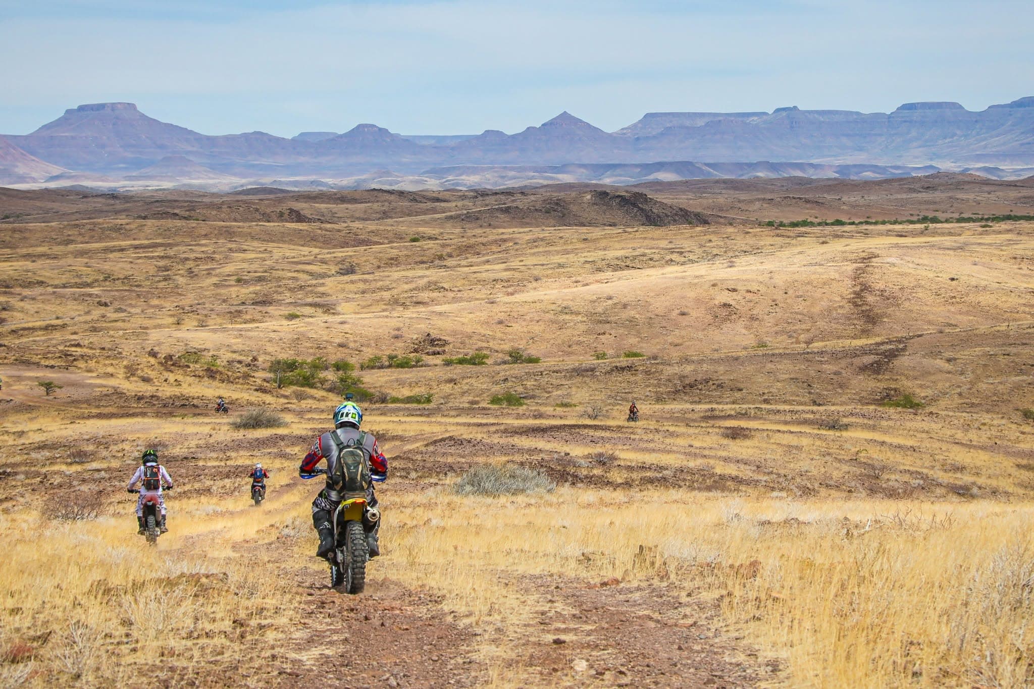 11 days
Damaraland Off-Road Tour - Namibia
Windhoek, Namibia
€3,600by Namibia Motorcycle Tours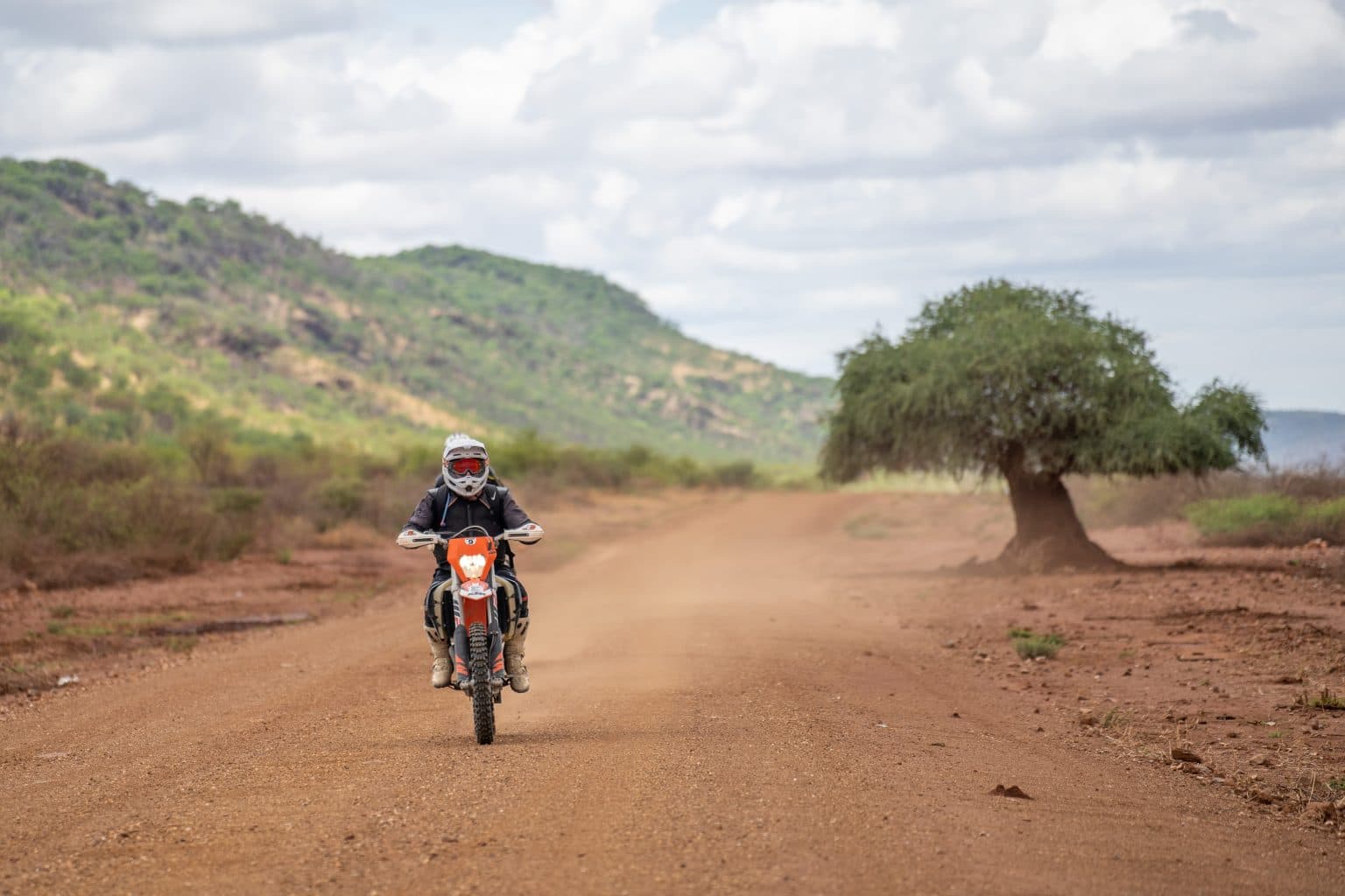 12 days
Kaokoland Adventure Tour
Windhoek, Namibia
€3,750by Namibia Motorcycle Tours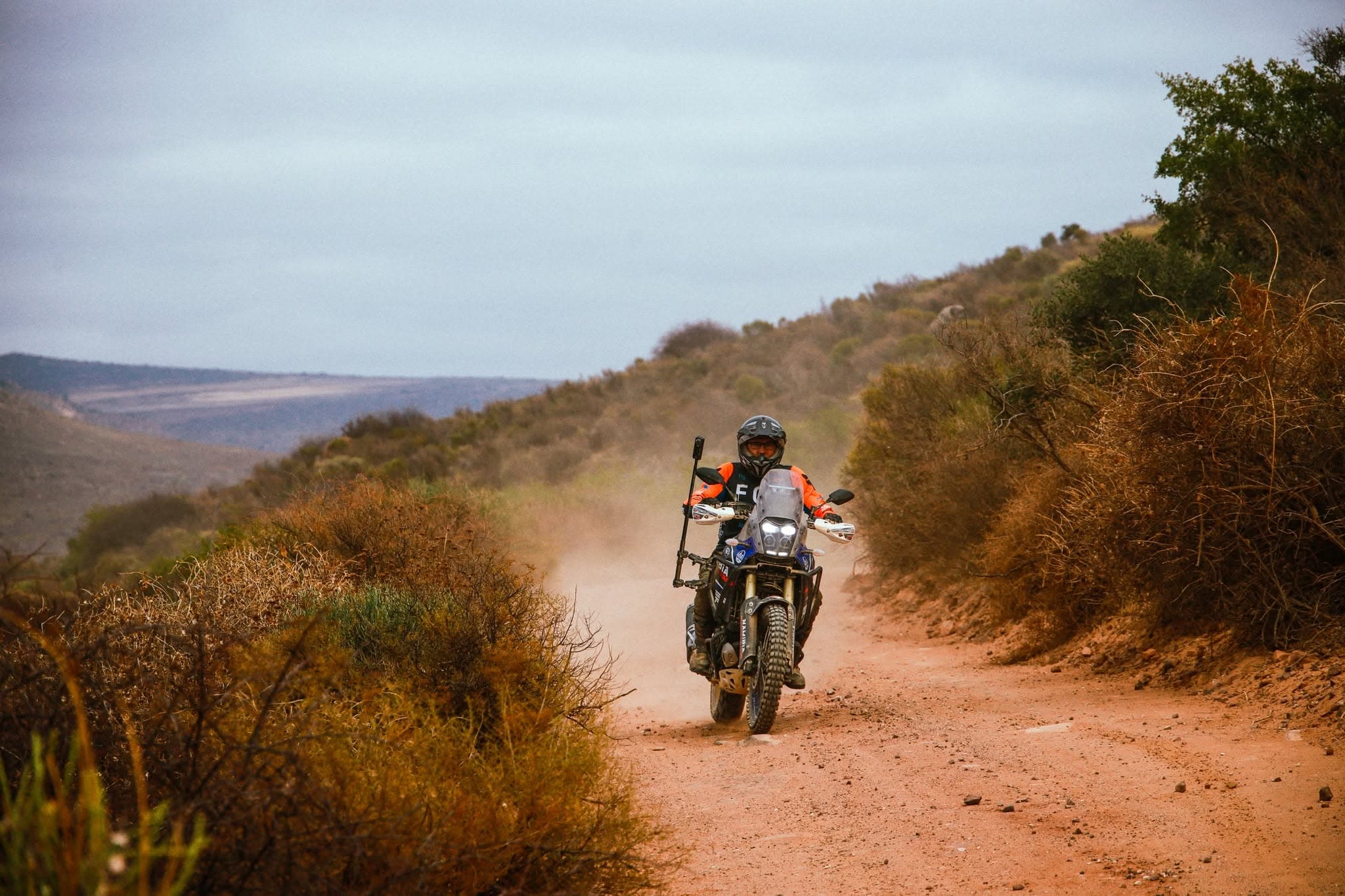 13 days
Windhoek - Cape Town
Windhoek, Namibia
€4,100by Namibia Motorcycle Tours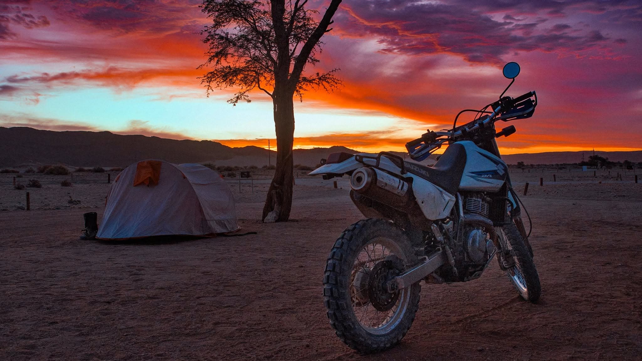 14 days
Namibia Adventure Tour
Windhoek, Namibia
€4,150by Namibia Motorcycle Tours
Listed by country and length, never by operator. Every tour page has a form to ask the operator a question before you book.
Check what you need to ride in Namibia
Three answers and you get a plain verdict. Rules checked against official sources; links below.
This is general information from official sources, not legal advice. Rules change; check with the embassy if your trip depends on it.